Distance from Old Dominion University, Virginia to Guerrant, Kentucky
The driving distance from Old Dominion University, Virginia to Guerrant, Kentucky is 548 mi (881.9 km)
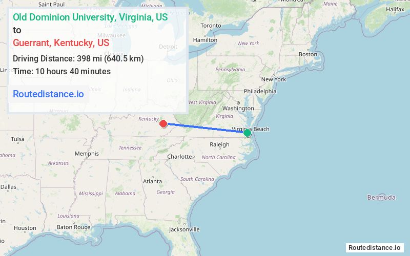
The straight-line (air) distance is approximately 247.3 mi (398 km)
Estimated travel time by road is 8 hours 58 minutes
We found 3 routes between Old Dominion University and Guerrant.
Available Routes
Route Directions
Get on I-64 W from Hampton Blvd and Terminal Blvd
Follow I-64 W and I-81 S to US-58 ALT W/Cummings St in Abingdon. Take exit 17 from I-81 S
Continue on US-58 ALT W. Take US-23 N, US-119 S and KY-15 N to Highland-Big Rock Rd/Puncheon Creek Rd in Breathitt County
Route Directions
Get on I-64 W from Hampton Blvd and Terminal Blvd
Continue on I-64 W to Carter County. Take exit 172 from I-64 W
Continue on KY-7 S. Take KY-205 S to Puncheon Creek Rd in Breathitt County
Route Directions
Get on I-64 W from Hampton Blvd and Terminal Blvd
Follow I-64 W, I-81 S and I-64 W to WV-16 S/WV-97 W/Robert C Byrd Dr in Raleigh County. Take exit 42 from I-64 W/I-77 N
Take WV-99 W, WV-85 S, State Hwy 10 N, US-119 S/Robert C Byrd Fwy, ... and KY-205 S to Puncheon Creek Rd in Breathitt County
Journey Details
Traveling from Old Dominion University, Virginia to Guerrant, Kentucky covers 544.8 miles (877 km) in a west direction. This highway, long-distance route typically takes 9 hours 22 minutes under normal conditions.
Drivers have 3 route options between these locations (545-567 miles / 877-913 km). The primary route shown here saves no time compared to alternatives.
The route features scenic views, toll sections. During midday weekday travel, expect lighter midday traffic with average speeds around 60 mph (97 km/h) .
Journey Waypoints
Old Dominion University
Starting Point
Guerrant
Destination
Route Map Image