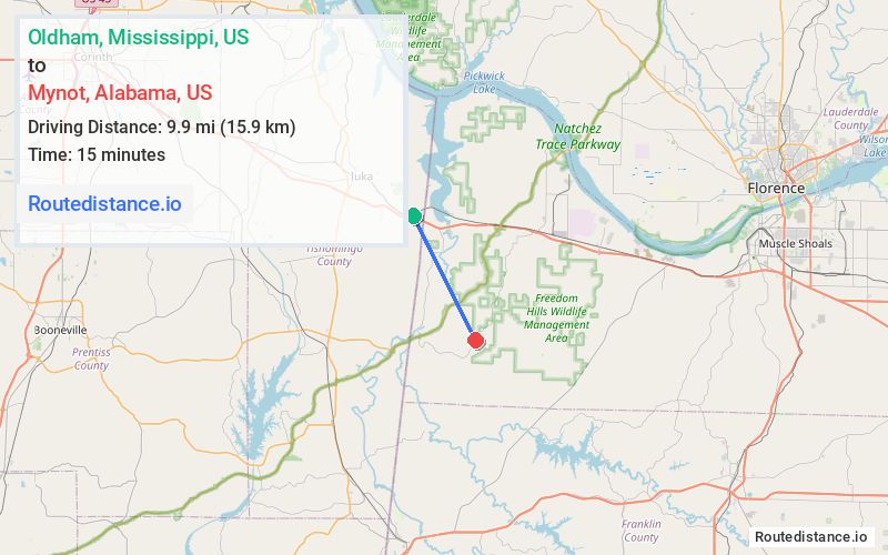
Distance from Oldham, Mississippi to Mynot, Alabama
The driving distance from Oldham, Mississippi to Mynot, Alabama is 17.3 mi (27.8 km)
The straight-line (air) distance is approximately 6.1 mi (9.9 km)
Estimated travel time by road is 21 minutes
We found 3 routes between Oldham and Mynot.
Available Routes
Route Directions
Take US-72 E to Cedar Ln in Colbert County
Follow Cedar Ln to Mt Hester Rd
Continue on Mt Hester Rd. Drive to Mynot Rd
Route Directions
Route Directions
Take Sutton Hill Rd and Mt Hester Rd to Mynot Rd
Journey Details
Traveling from Oldham, Mississippi to Mynot, Alabama covers 16 miles (26 km) in a southeast direction. This mixed highways and local roads, moderate route typically takes 22 minutes under normal conditions.
Drivers have 3 route options between these locations (16-17 miles / 26-28 km). The primary route shown here saves 2 minutes compared to alternatives.
Journey Waypoints
Oldham
Starting Point
Mynot
Destination
Route Map Image