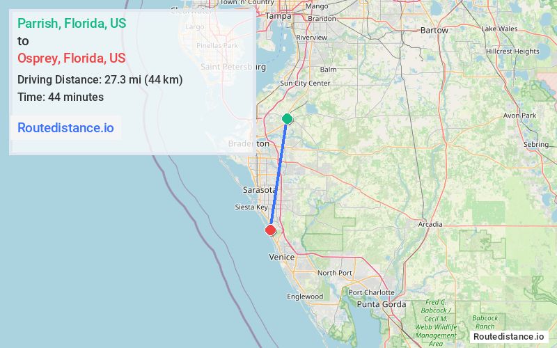
Distance from Parrish, Florida to Osprey, Florida
The driving distance from Parrish, Florida to Osprey, Florida is 40.4 mi (65 km)
The straight-line (air) distance is approximately 17 mi (27.4 km)
Estimated travel time by road is 44 minutes
We found 2 routes between Parrish and Osprey.
Available Routes
Route Directions
Get on I-75 S
Follow I-75 S to FL-681 in Sarasota County. Take exit 200 from I-75 S
Drive to Bay St in Osprey
Route Directions
Get on I-75 S
Follow I-75 S to FL-72 W/Clark Rd in Sarasota County. Take exit 205 from I-75 S
Take Honore Ave and McIntosh Rd to N Tamiami Trail in Osprey
Journey Details
Traveling from Parrish, Florida to Osprey, Florida covers 33.6 miles (54 km) in a south direction. This mixed highways and local roads, moderate route typically takes 46 minutes under normal conditions.
Drivers have 2 route options between these locations (34-40 miles / 54-65 km). The primary route shown here saves no time compared to alternatives.
The route features scenic views. During morning weekday travel, expect morning rush hour with average speeds around 44 mph (71 km/h) .
Journey Waypoints
Parrish
Starting Point
Osprey
Destination
Route Map Image