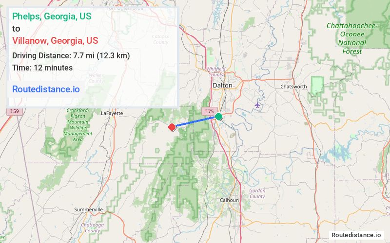
Distance from Phelps, Georgia to Villanow, Georgia
The driving distance from Phelps, Georgia to Villanow, Georgia is 19.6 mi (31.6 km)
The straight-line (air) distance is approximately 4.8 mi (7.7 km)
Estimated travel time by road is 25 minutes
We found 3 routes between Phelps and Villanow.
Available Routes
Route Directions
Continue on US-41 S. Take Carbondale Rd SW and GA-136 W to E Armuchee Rd in Walker County
Route Directions
Follow I-75 N, US-41 N/US-76 W/Chattanooga Rd and GA-201 S to E Armuchee Rd in Walker County
Route Directions
Take I-75 N to Dug Gap Battle Rd/Dug Gap Mountain Rd in Dalton
Continue on Dug Gap Battle Rd/Dug Gap Mountain Rd. Take Mill Creek Rd to GA-201 S in Rocky Face
Follow GA-201 S to E Armuchee Rd
Journey Details
Traveling from Phelps, Georgia to Villanow, Georgia covers 17.9 miles (29 km) in a west direction. This mixed highways and local roads, moderate route typically takes 25 minutes under normal conditions.
Drivers have 3 route options between these locations (18-23 miles / 29-37 km). The primary route shown here saves 2 minutes compared to alternatives.
Journey Waypoints
Phelps
Starting Point
Villanow
Destination
Route Map Image