
Calculating Your Route
Just a moment while we calculate your route...
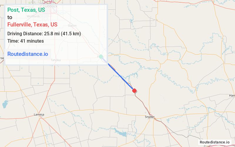
Distance from Post to Fullerville
Route Information
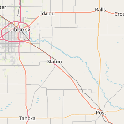
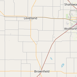
The driving distance from Post, Texas to Fullerville, Texas is 26.7 mi (42.9 km)
The straight-line (air) distance is 25.8 mi (41.5 km)
The estimated flight time is 0 hr 3 min
The estimated travel time by road is 22 minutes
Traveling mixed highways and local roads, moderate in a southeast direction. Average speeds around 55 mph.
Location Details
Origin:

Destination:
No image available
Journey Summary
Traveling from Post, Texas to Fullerville, Texas covers 26.7 mi (42.9 km) in a southeast direction. This mixed highways and local roads, moderate route typically takes 22 minutes under normal conditions.
The route features scenic views along the way. with average speeds around 55 mph (89 km/h).
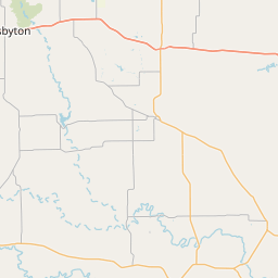
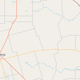
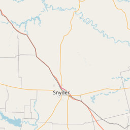
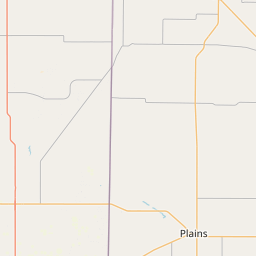
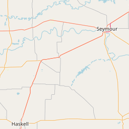
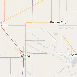
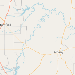
Route Map Visualization
How is the distance calculated?
Driving distances are based on actual road data. We use advanced routing algorithms that consider traffic, tolls, highways, and local streets. For air distances (as the crow flies), we use the Vincenty formula. It's a precise method that accounts for the Earth's shape and provides accuracy up to 0.5 mm.
When multiple route options exist, we display both the shortest and fastest paths. Travel times are estimated based on typical speeds for each road type, though actual times may vary with traffic and weather conditions. All distances are shown in both miles and kilometers for convenience.