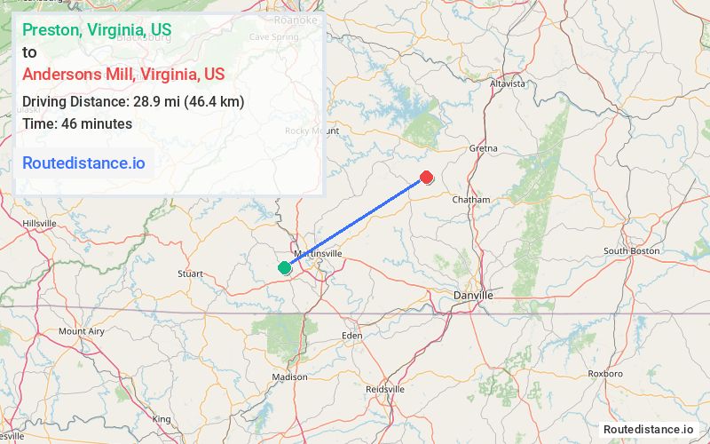
Distance from Preston, Virginia to Andersons Mill, Virginia
The driving distance from Preston, Virginia to Andersons Mill, Virginia is 39 mi (62.8 km)
The straight-line (air) distance is approximately 17.9 mi (28.9 km)
Estimated travel time by road is 54 minutes
We found 2 routes between Preston and Andersons Mill.
Available Routes
Route Directions
Continue on Jordan Creek Rd to Dillons Fork Rd
Take US-220 N, Figsboro Rd and State Rte 890 to State Rte 652 in Franklin County
Continue on State Rte 652 to Pittsylvania County
Take Museville Rd to Anderson Mill Rd
Follow Anderson Mill Rd to your destination
Route Directions
Take VA-57 E to Anderson Mill Rd in Pittsylvania County
Follow Anderson Mill Rd to your destination
Journey Details
Traveling from Preston, Virginia to Andersons Mill, Virginia covers 37.6 miles (61 km) in a northeast direction. This mixed highways and local roads, moderate route typically takes 50 minutes under normal conditions.
Drivers have 2 route options between these locations (38-39 miles / 61-63 km). The primary route shown here saves 5 minutes compared to alternatives.
Journey Waypoints
Preston
Starting Point
Andersons Mill
Destination
Route Map Image