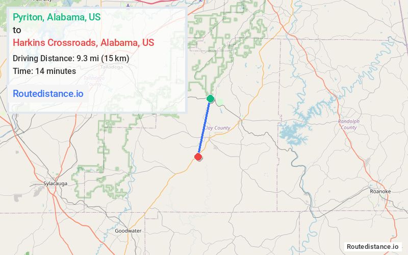
Distance from Pyriton, Alabama to Harkins Crossroads, Alabama
The driving distance from Pyriton, Alabama to Harkins Crossroads, Alabama is 17.9 mi (28.8 km)
The straight-line (air) distance is approximately 5.8 mi (9.3 km)
Estimated travel time by road is 26 minutes
We found 2 routes between Pyriton and Harkins Crossroads.
Available Routes
Route Directions
Continue on Hanging Rock Rd to State Rte 130
Continue on State Rte 130 to Clay County 5
Route Directions
Follow Highland Rd to Watershed Rd
Take Olive Branch Rd to Tyson Rd
Continue on Tyson Rd. Drive to AL-9 S
Journey Details
Traveling from Pyriton, Alabama to Harkins Crossroads, Alabama covers 13.6 miles (22 km) in a south direction. This secondary roads, moderate route typically takes 20 minutes under normal conditions.
Drivers have 2 route options between these locations (14-18 miles / 22-29 km). The primary route shown here saves 7 minutes compared to alternatives.
Journey Waypoints
Pyriton
Starting Point
Harkins Crossroads
Destination
Route Map Image