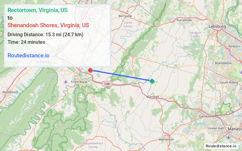
Distance from Rectortown, Virginia to Shenandoah Shores, Virginia
The driving distance from Rectortown, Virginia to Shenandoah Shores, Virginia is 21 mi (33.8 km)
The straight-line (air) distance is approximately 9.5 mi (15.3 km)
Estimated travel time by road is 26 minutes
We found 2 routes between Rectortown and Shenandoah Shores.
Available Routes
Route Directions
Follow State Rte 713 to US-17 S
Follow I-66 W to State Rte 647 in Warren County
Route Directions
Follow State Rte 713 to US-17 S
Follow I-66 W and VA-55 W to State Rte 647 in Warren County
Journey Details
Traveling from Rectortown, Virginia to Shenandoah Shores, Virginia covers 20.9 miles (34 km) in a west direction. This mixed highways and local roads, moderate route typically takes 28 minutes under normal conditions.
Drivers have 2 route options between these locations (21-21 miles / 34-34 km). The primary route shown here saves no time compared to alternatives.
The route features scenic views. During midday weekday travel, expect lighter midday traffic with average speeds around 44 mph (71 km/h) .
Journey Waypoints
Rectortown
Starting Point
Shenandoah Shores
Destination
Route Map Image