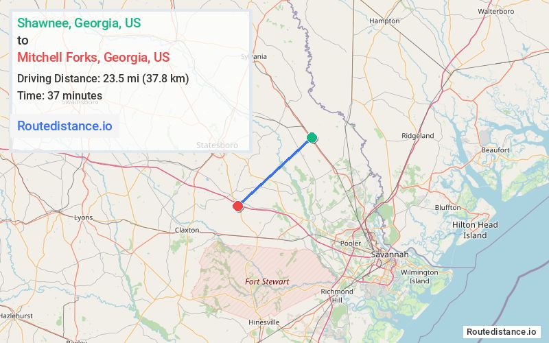
Distance from Shawnee, Georgia to Mitchell Forks, Georgia
The driving distance from Shawnee, Georgia to Mitchell Forks, Georgia is 40.8 mi (65.7 km)
The straight-line (air) distance is approximately 14.6 mi (23.5 km)
Estimated travel time by road is 44 minutes
We found 3 routes between Shawnee and Mitchell Forks.
Available Routes
Route Directions
Take Savannah Town Rd/Shawnee Rd to GA-21 S
Follow GA-21 S to GA-119 S in Ellabell
Get on I-16 W
Follow I-16 W to GA-67 S. Take exit 127 from I-16 W
Route Directions
Take Savannah Town Rd/Shawnee Rd to GA-21 S
Take Courthouse Rd to US-80 W
Continue on US-80 W. Take I-16 W to GA-67 S in Bulloch County. Take exit 127 from I-16 W
Route Directions
Take GA-21 N, GA-24 S, Stilson-Leefield Rd, Brooklet-Leefield Rd and Brooklet-Denmark Rd to GA-67 S in Bulloch County
Journey Details
Traveling from Shawnee, Georgia to Mitchell Forks, Georgia covers 35.3 miles (57 km) in a southwest direction. This mixed highways and local roads, moderate route typically takes 43 minutes under normal conditions.
Drivers have 3 route options between these locations (35-46 miles / 57-74 km). The primary route shown here saves 10 minutes compared to alternatives.
The route features scenic views. During night weekday travel, expect minimal traffic congestion with average speeds around 46 mph (74 km/h) .
Journey Waypoints
Shawnee
Starting Point
Mitchell Forks
Destination
Route Map Image