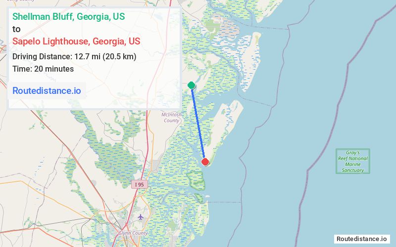
Distance from Shellman Bluff, Georgia to Sapelo Lighthouse, Georgia
The driving distance from Shellman Bluff, Georgia to Sapelo Lighthouse, Georgia is 28.1 mi (45.2 km)
The straight-line (air) distance is approximately 7.9 mi (12.7 km)
Estimated travel time by road is 1 hour 21 minutes
This route includes Toll roads along the way.
We found 3 routes between Shellman Bluff and Sapelo Lighthouse.
Available Routes
Route Directions
Take Sutherland Rd/Sutherland Bluff Dr NE to River Rd/Shellman Bluff Rd NE
Follow River Rd/Shellman Bluff Rd NE and US-17 S to Rossville Rd
Drive
Take Autobahn to Lighthouse Rd in Sapelo Island
Route Directions
Take Sutherland Rd/Sutherland Bluff Dr NE to River Rd/Shellman Bluff Rd NE
Continue on River Rd/Shellman Bluff Rd NE. Take I-95 S and GA-99 N to Landing Rd
Drive
Take Autobahn to Lighthouse Rd in Sapelo Island
Route Directions
Take Sutherland Rd/Sutherland Bluff Dr NE to River Rd/Shellman Bluff Rd NE
Continue on River Rd/Shellman Bluff Rd NE. Take GA-99 S to Landing Rd
Drive
Take Autobahn to Lighthouse Rd in Sapelo Island
Journey Details
Traveling from Shellman Bluff, Georgia to Sapelo Lighthouse, Georgia covers 27.3 miles (44 km) in a south direction. This local streets, moderate route typically takes 1 hour 19 minutes under normal conditions.
Drivers have 3 route options between these locations (27-38 miles / 44-62 km). The primary route shown here saves 13 minutes compared to alternatives.
The route features toll sections, urban congestion. During night weekday travel, expect minimal traffic congestion with average speeds around 20 mph (32 km/h) .
Journey Waypoints
Shellman Bluff
Starting Point
Sapelo Lighthouse
Destination
Route Map Image