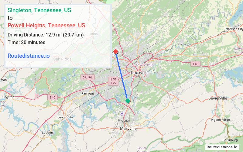
Distance from Singleton, Tennessee to Powell Heights, Tennessee
The driving distance from Singleton, Tennessee to Powell Heights, Tennessee is 19.1 mi (30.7 km)
The straight-line (air) distance is approximately 8 mi (12.9 km)
Estimated travel time by road is 25 minutes
We found 3 routes between Singleton and Powell Heights.
Available Routes
Route Directions
Follow TN-333 N/Topside Rd to US-129 N
Continue on US-129 N. Take I-275 N and I-75 N to TN-131 S/E Emory Rd in Knoxville. Take exit 112 from I-75 N
Continue on E Emory Rd. Drive to Sharp Rd in Powell
Route Directions
Get on I-140 W
Follow I-140 W and TN-162 N to TN-62 E in Knox County. Take the TN-62 E exit from TN-162 N
Take W Emory Rd to US-25W S
Continue on W Emory Rd. Drive to Sharp Rd in Powell
Route Directions
Follow TN-333 N/Topside Rd to US-129 N
Continue on US-129 N to Knoxville. Take exit 1 from I-640 E/I-75 N
Take Pleasant Ridge Rd to US-25W N
Continue on W Beaver Creek Dr. Take Brickyard Rd to Sharp Rd
Journey Details
Traveling from Singleton, Tennessee to Powell Heights, Tennessee covers 18.5 miles (30 km) in a north direction. This secondary roads, moderate route typically takes 30 minutes under normal conditions.
Drivers have 3 route options between these locations (19-27 miles / 30-44 km). The primary route shown here saves 4 minutes compared to alternatives.
The route features scenic views. During morning weekday travel, expect morning rush hour with average speeds around 34 mph (55 km/h) .
Journey Waypoints
Singleton
Starting Point
Powell Heights
Destination
Route Map Image