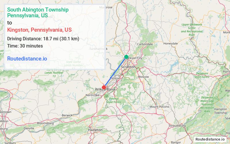
Distance from South Abington Township, Pennsylvania to Kingston, Pennsylvania
The driving distance from South Abington Township, Pennsylvania to Kingston, Pennsylvania is 27.9 mi (44.9 km)
The straight-line (air) distance is approximately 11.6 mi (18.7 km)
Estimated travel time by road is 36 minutes
This route includes Toll roads along the way.
We found 3 routes between South Abington Township and Kingston.
Available Routes
Route Directions
Get on I-476 S/US-6 E from Old S Abington Rd
Follow I-476 S, I-81 S and PA-309 N to Rutter Ave in Forty Fort. Take exit 4 from PA-309 N
Follow Rutter Ave and Ridge Ave to your destination in Kingston
Route Directions
Get on I-476 S/US-6 E
Follow I-81 S and PA-309 N to Rutter Ave in Forty Fort. Take exit 4 from PA-309 N
Follow Rutter Ave and Ridge Ave to your destination in Kingston
Route Directions
Take US-11 S to President Biden Expy in Scranton
Follow I-81 S and PA-309 N to Rutter Ave in Forty Fort. Take exit 4 from PA-309 N
Follow Rutter Ave and Ridge Ave to your destination in Kingston
Journey Details
Traveling from South Abington Township, Pennsylvania to Kingston, Pennsylvania covers 26.9 miles (43 km) in a southwest direction. This mixed highways and local roads, moderate route typically takes 38 minutes under normal conditions.
Drivers have 3 route options between these locations (27-29 miles / 43-47 km). The primary route shown here saves no time compared to alternatives.
The route features scenic views. During night weekday travel, expect minimal traffic congestion with average speeds around 41 mph (66 km/h) .
Journey Waypoints
South Abington Township
Starting Point
Kingston
Destination
Route Map Image