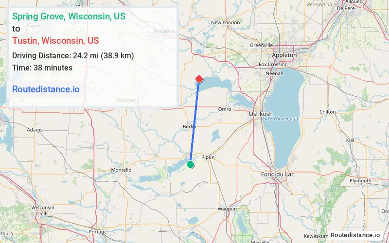
Distance from Spring Grove, Wisconsin to Tustin, Wisconsin
The driving distance from Spring Grove, Wisconsin to Tustin, Wisconsin is 34.3 mi (55.2 km)
The straight-line (air) distance is approximately 15 mi (24.2 km)
Estimated travel time by road is 48 minutes
We found 3 routes between Spring Grove and Tustin.
Available Routes
Route Directions
Continue on Co Rd A. Take WI-49 N and County Rd XX to Co Rd XX in Aurora
Follow 34th Dr, Buttercup Ct and 35th Rd to County Hwy D/County Rd D in Poy Sippi
Continue on County Hwy D/County Rd D. Take County Rd H to Center St in Tustin
Route Directions
Take WI-49 N, County Rd F and County Hwy E N to Beechnut Ln in Leon
Follow Beechnut Ln to County Hwy H/County Rd H
Continue on County Rd H to Tustin
Route Directions
Take WI-49 N to County Rd H in Poy Sippi
Follow County Rd H to Center St in Tustin
Journey Details
Traveling from Spring Grove, Wisconsin to Tustin, Wisconsin covers 31 miles (50 km) in a north direction. This mixed highways and local roads, moderate route typically takes 41 minutes under normal conditions.
Drivers have 3 route options between these locations (31-39 miles / 50-64 km). The primary route shown here saves 14 minutes compared to alternatives.
Journey Waypoints
Spring Grove
Starting Point
Tustin
Destination
Route Map Image