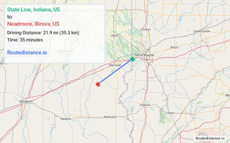
Distance from State Line, Indiana to Neadmore, Illinois
The driving distance from State Line, Indiana to Neadmore, Illinois is 31.6 mi (50.8 km)
The straight-line (air) distance is approximately 13.6 mi (21.9 km)
Estimated travel time by road is 34 minutes
This route includes Toll roads along the way.
We found 3 routes between State Line and Neadmore.
Available Routes
Route Directions
Take I-70 W to N Cleone Rd/County Rd 700 E in Martinsville Township. Take exit 136 from I-70 W
Drive to N 800th St in Orange Township
Route Directions
Take W Illiana Dr, U.S. Hwy 40 W, IL-1 S, N Grand Turn Rd, ... and E Angling Rd to N 1200th St in Melrose Township
Take County Rd 700 N to N 800th St in Orange Township
Route Directions
Take I-70 E to National Ave/W Nat'l Dr. Take exit 1 from I-70 E
Follow W Illiana Dr to U.S. Hwy 40 W in Dennison
Follow N 1000th St to N 800th St in Orange Township
Journey Details
Traveling from State Line, Indiana to Neadmore, Illinois covers 29.3 miles (47 km) in a southwest direction. This mixed highways and local roads, moderate route typically takes 35 minutes under normal conditions.
Drivers have 3 route options between these locations (29-33 miles / 47-52 km). The primary route shown here saves 9 minutes compared to alternatives.
The route features toll sections. During night weekday travel, expect minimal traffic congestion with average speeds around 53 mph (85 km/h) .
Journey Waypoints
State Line
Starting Point
Neadmore
Destination
Route Map Image