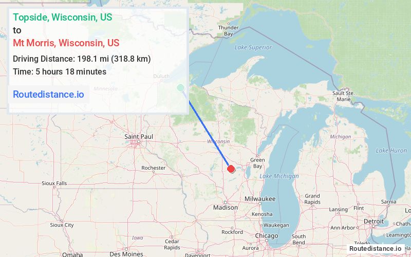
Distance from Topside, Wisconsin to Mt Morris, Wisconsin
The driving distance from Topside, Wisconsin to Mt Morris, Wisconsin is 259.9 mi (418.3 km)
The straight-line (air) distance is approximately 123.1 mi (198.1 km)
Estimated travel time by road is 4 hours 26 minutes
We found 2 routes between Topside and Mt Morris.
Available Routes
Route Directions
Follow US-2 E, US-51 S and I-39 S to WI-73 S in Plainfield. Take exit 136 from I-39 S
Continue on WI-73 S. Drive to County Hwy W in Mount Morris
Route Directions
Continue on US-2 E to WI-118 E
Take State Hwy 13 S/WI-13 Trunk S to US-8 E in Price County
Follow US-8 E, US-51 S and I-39 S to WI-73 S in Plainfield. Take exit 136 from I-39 S
Continue on WI-73 S. Drive to County Hwy W in Mount Morris
Journey Details
Traveling from Topside, Wisconsin to Mt Morris, Wisconsin covers 253.1 miles (407 km) in a southeast direction. This highway, long-distance route typically takes 4 hours 21 minutes under normal conditions.
Drivers have 2 route options between these locations (253-260 miles / 407-418 km). The primary route shown here saves 6 minutes compared to alternatives.
The route features scenic views. During night weekday travel, expect minimal traffic congestion with average speeds around 57 mph (92 km/h) .
Journey Waypoints
Topside
Starting Point
Mt Morris
Destination
Route Map Image