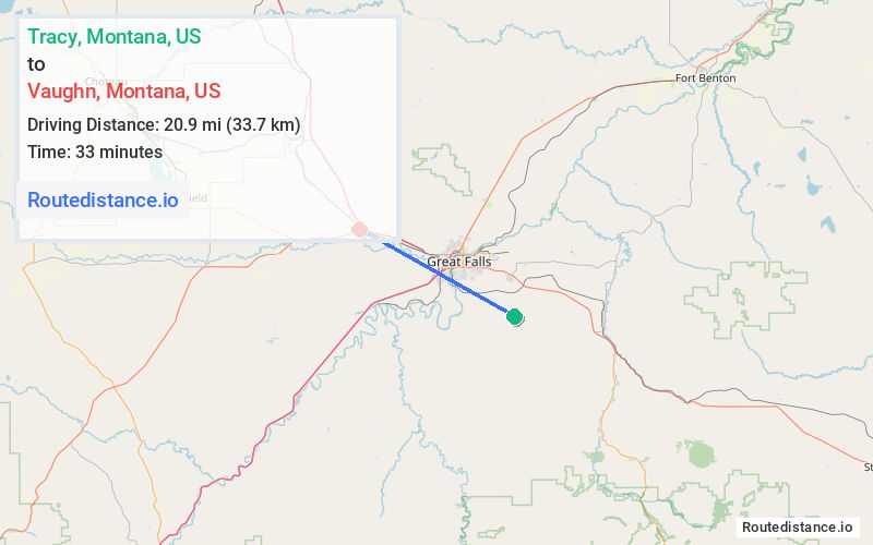
Distance from Tracy, Montana to Vaughn, Montana
The driving distance from Tracy, Montana to Vaughn, Montana is 26.4 mi (42.5 km)
The straight-line (air) distance is approximately 13 mi (20.9 km)
Estimated travel time by road is 34 minutes
We found 3 routes between Tracy and Vaughn.
Available Routes
Route Directions
Follow Stockett Rd to US-87 N/US-89 N
Follow US-89 N and I-15 N to 2nd St in Vaughn
Continue on 2nd St. Drive to Central Ave
Route Directions
Follow Blaine St to Stockett Rd
Continue on Stockett Rd. Take US-87 N/US-89 N, River Dr N and I-15 N/MT-200 W/US-89 N to 2nd St in Vaughn
Continue on 2nd St. Drive to Central Ave
Route Directions
Follow Stockett Rd to US-87 N/US-89 N
Get on I-15 N/MT-200 W/US-89 N from 2nd Ave N and I-15BL
Follow I-15 N/MT-200 W/US-89 N to 2nd St in Vaughn
Continue on 2nd St. Drive to Central Ave
Journey Details
Traveling from Tracy, Montana to Vaughn, Montana covers 25.8 miles (42 km) in a west direction. This mixed highways and local roads, moderate route typically takes 35 minutes under normal conditions.
Drivers have 3 route options between these locations (26-27 miles / 42-44 km). The primary route shown here saves 2 minutes compared to alternatives.
Journey Waypoints
Tracy
Starting Point
Vaughn
Destination
Route Map Image