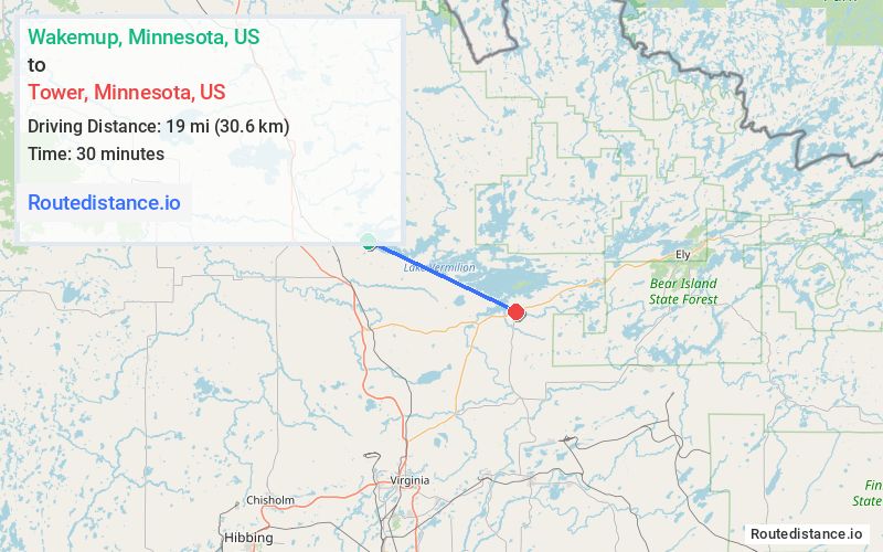
Distance from Wakemup, Minnesota to Tower, Minnesota
The driving distance from Wakemup, Minnesota to Tower, Minnesota is 30.3 mi (48.8 km)
The straight-line (air) distance is approximately 11.8 mi (19 km)
Estimated travel time by road is 35 minutes
We found 2 routes between Wakemup and Tower.
Available Routes
Route Directions
Take Vermilion Dr to US-53 S in Cook
Take State Hwy 1 to Spruce St in Tower
Route Directions
Take Co Rd 115 to Spruce St in Tower
Journey Details
Traveling from Wakemup, Minnesota to Tower, Minnesota covers 29.2 miles (47 km) in a east direction. This mixed highways and local roads, moderate route typically takes 33 minutes under normal conditions.
Drivers have 2 route options between these locations (29-30 miles / 47-49 km). The primary route shown here saves 3 minutes compared to alternatives.
Journey Waypoints
Wakemup
Starting Point
Tower
Destination
Route Map Image