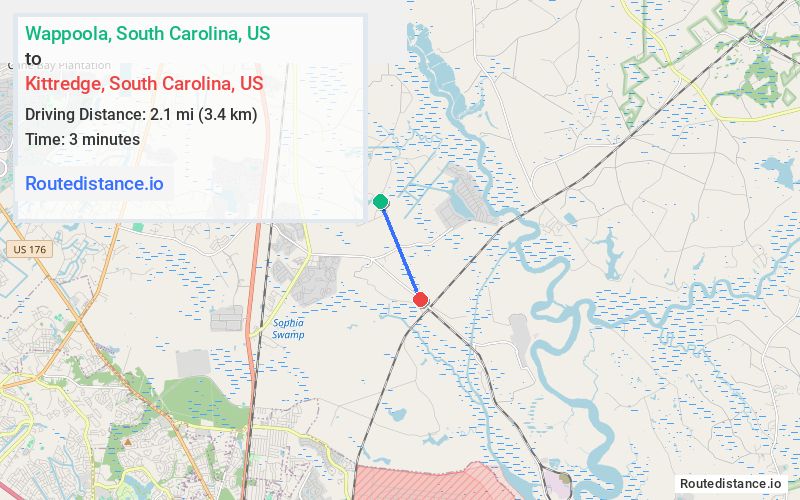
Distance from Wappoola, South Carolina to Kittredge, South Carolina
The driving distance from Wappoola, South Carolina to Kittredge, South Carolina is 9.2 mi (14.8 km)
The straight-line (air) distance is approximately 1.3 mi (2.1 km)
Estimated travel time by road is 16 minutes
We found 3 routes between Wappoola and Kittredge.
Available Routes
Route Directions
Take Oakley Rd to Old Hwy 52 S/State Rd S-8-791
Continue on Old Hwy 52 S/State Rd S-8-791 to Faison Ln
Route Directions
Take Oakley Rd to US-52 W in Moncks Corner
Follow US-52 W and Cypress Gardens Rd/State Rd S-8-9 to Faison Ln
Route Directions
Take Albert Storm Ave and Pimlico Blvd/State Rd S-8-260 to Cypress Gardens Rd/State Rd S-8-9
Journey Details
Traveling from Wappoola, South Carolina to Kittredge, South Carolina covers 7.1 miles (11 km) in a southeast direction. This local streets, short route typically takes 21 minutes under normal conditions.
Drivers have 3 route options between these locations (7-11 miles / 11-17 km). The primary route shown here saves no time compared to alternatives.
The route features scenic views. During night weekend travel, expect typical weekend traffic patterns with average speeds around 20 mph (32 km/h) .
Journey Waypoints
Route Map Image