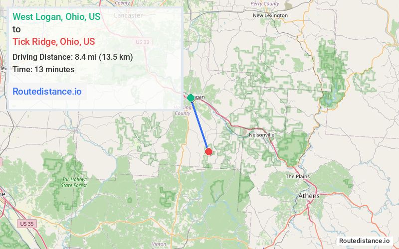
Distance from West Logan, Ohio to Tick Ridge, Ohio
The driving distance from West Logan, Ohio to Tick Ridge, Ohio is 13.4 mi (21.6 km)
The straight-line (air) distance is approximately 5.2 mi (8.4 km)
Estimated travel time by road is 20 minutes
We found 2 routes between West Logan and Tick Ridge.
Available Routes
Route Directions
Take Charles St to OH-664 S
Take US-33 E and OH-328 S to Moore Rd in Union Furnace
Continue on Moore Rd. Drive to Tick Ridge Rd in New Plymouth
Route Directions
Journey Details
Traveling from West Logan, Ohio to Tick Ridge, Ohio covers 11.4 miles (18 km) in a southeast direction. This secondary roads, short route typically takes 20 minutes under normal conditions.
Drivers have 2 route options between these locations (11-13 miles / 18-22 km). The primary route shown here saves no time compared to alternatives.
Journey Waypoints
West Logan
Starting Point
Tick Ridge
Destination
Route Map Image