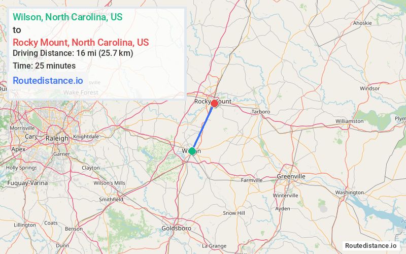
Distance from Wilson, North Carolina to Rocky Mount, North Carolina
The driving distance from Wilson, North Carolina to Rocky Mount, North Carolina is 19.8 mi (31.8 km)
The straight-line (air) distance is approximately 9.9 mi (16 km)
Estimated travel time by road is 29 minutes
We found 2 routes between Wilson and Rocky Mount.
Available Routes
Route Directions
Take Hines St S to US-301 N/Ward Blvd
Continue on US-301 N to Nash County. Take the NC-97 exit from US-301 BYP N
Follow W Raleigh Blvd to your destination in Rocky Mount
Route Directions
Follow Mercer St SW and Spruce St SW to Goldsboro St S
Follow NC-58 N and NC-97 E to Rocky Mount
Drive to your destination
Journey Details
Traveling from Wilson, North Carolina to Rocky Mount, North Carolina covers 19.8 miles (32 km) in a northeast direction. This mixed highways and local roads, moderate route typically takes 29 minutes under normal conditions.
Drivers have 2 route options between these locations (20-20 miles / 32-33 km). The primary route shown here saves 6 minutes compared to alternatives.
The route features scenic views, mountain passes. During evening weekend travel, expect typical weekend traffic patterns with average speeds around 43 mph (69 km/h) .
Journey Waypoints
Wilson
Starting Point
Rocky Mount
Destination
Route Map Image