Distance to Absarokee, Montana

Calculating Your Route
Just a moment while we process your request...
Location Information
-
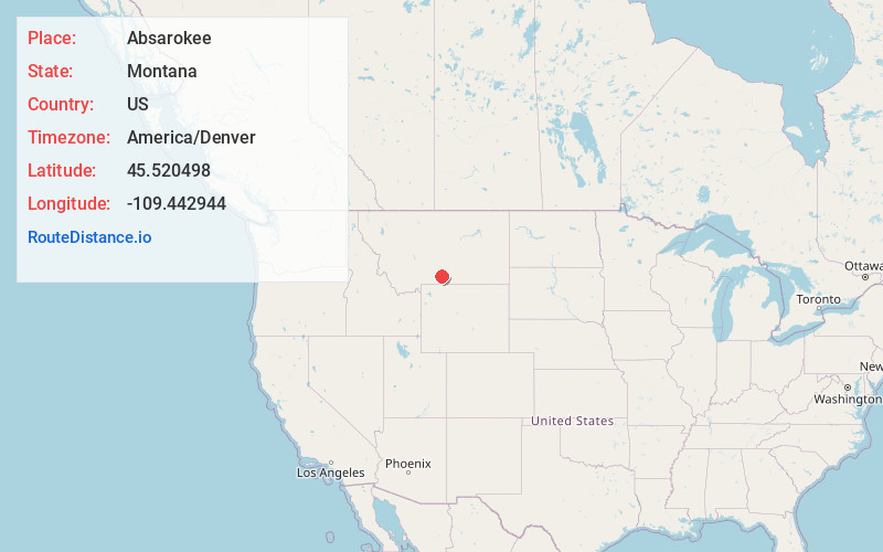
Full AddressAbsarokee, MT 59001
-
Coordinates45.5204982, -109.4429444
-
LocationAbsarokee , Montana , US
-
TimezoneAmerica/Denver
-
Current Local Time11:27:19 PM America/DenverSunday, June 29, 2025
-
Page Views0
About Absarokee
Absarokee is a census-designated place in Stillwater County, Montana, United States, approximately 14 miles south of Columbus on Highway 78. It is named after the Crow Indians who formerly inhabited the land. The population was 1,000 at the 2020 census.


Nearby Places
Found 7 places within 50 miles

Columbus
12.3 mi
19.8 km
Columbus, MT 59019
Get directions

Red Lodge
25.0 mi
40.2 km
Red Lodge, MT 59068
Get directions

Park City
26.6 mi
42.8 km
Park City, MT 59063
Get directions

Bridger
30.0 mi
48.3 km
Bridger, MT 59014
Get directions

Big Timber
32.9 mi
52.9 km
Big Timber, MT 59011
Get directions

Laurel
34.0 mi
54.7 km
Laurel, MT 59044
Get directions

Billings
48.8 mi
78.5 km
Billings, MT
Get directions
Location Links
Local Weather
Weather Information
Coming soon!
Location Map
Static map view of Absarokee, Montana
Browse Places by Distance
Places within specific distances from Absarokee
Short Distances
Long Distances
Click any distance to see all places within that range from Absarokee. Distances shown in miles (1 mile ≈ 1.61 kilometers).