Distance to Acala, Texas

Calculating Your Route
Just a moment while we process your request...
Location Information
-
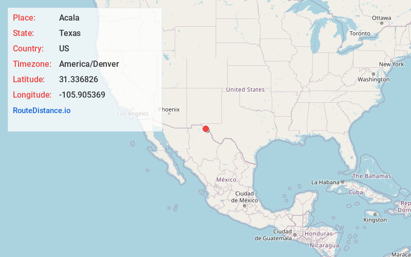
Full AddressAcala, TX 79839
-
Coordinates31.3368261, -105.9053689
-
LocationAcala , Texas , US
-
TimezoneAmerica/Denver
-
Current Local Time11:35:32 PM America/DenverSunday, June 29, 2025
-
Page Views1
About Acala
Acala is an unincorporated community and census designated place in Hudspeth County, Texas, United States. The community is located on Highway 20 34 miles northwest of Sierra Blanca and 54 miles southeast of El Paso. The community has a population in 2020 of 11.
Nearby Places
Found 10 places within 50 miles

Fort Hancock
4.1 mi
6.6 km
Fort Hancock, TX 79839
Get directions

Tornillo
13.1 mi
21.1 km
Tornillo, TX 79853
Get directions

Fabens
18.8 mi
30.3 km
Fabens, TX
Get directions

Morning Glory
24.4 mi
39.3 km
Morning Glory, TX 79836
Get directions

Clint
25.8 mi
41.5 km
Clint, TX 79836
Get directions

San Elizario
27.6 mi
44.4 km
San Elizario, TX
Get directions

Horizon City
30.3 mi
48.8 km
Horizon City, TX 79928
Get directions
Sparks
30.4 mi
48.9 km
Sparks, TX 79928
Get directions

Socorro
32.1 mi
51.7 km
Socorro, TX
Get directions

Sierra Blanca
34.3 mi
55.2 km
Sierra Blanca, TX 79851
Get directions
Location Links
Local Weather
Weather Information
Coming soon!
Location Map
Static map view of Acala, Texas
Browse Places by Distance
Places within specific distances from Acala
Short Distances
Long Distances
Click any distance to see all places within that range from Acala. Distances shown in miles (1 mile ≈ 1.61 kilometers).