Distance to Acorn Ridge, Missouri

Calculating Your Route
Just a moment while we process your request...
Location Information
-
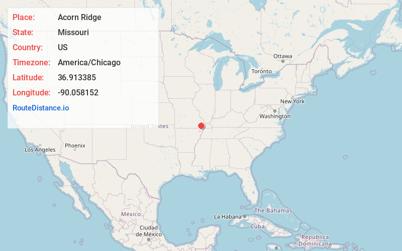
Full AddressAcorn Ridge, MO 63825
-
Coordinates36.9133854, -90.0581516
-
LocationAcorn Ridge , Missouri , US
-
TimezoneAmerica/Chicago
-
Current Local Time7:56:01 PM America/ChicagoTuesday, June 17, 2025
-
Page Views0
About Acorn Ridge
Acorn Ridge or Acornridge is an unincorporated community in Stoddard County, in the U.S. state of Missouri.
The community is on Missouri Route J, approximately seven miles west of Bloomfield.
Nearby Places
Found 10 places within 50 miles

Aid
2.7 mi
4.3 km
Aid, MO 63841
Get directions
Curdton
3.5 mi
5.6 km
Curdton, New Lisbon Township, MO 63960
Get directions
Redd
4.5 mi
7.2 km
Redd, Castor Township, MO 63936
Get directions

Puxico
6.1 mi
9.8 km
Puxico, MO 63960
Get directions
Hickman
6.2 mi
10.0 km
Hickman, Duck Creek Township, MO 63960
Get directions
Leora
6.4 mi
10.3 km
Leora, New Lisbon Township, MO 63960
Get directions
Kinder
7.2 mi
11.6 km
Kinder, New Lisbon Township, MO 63960
Get directions

Bloomfield
7.4 mi
11.9 km
Bloomfield, MO 63825
Get directions
Eaglette
8.5 mi
13.7 km
Eaglette, New Lisbon Township, MO 63960
Get directions

Dudley
8.8 mi
14.2 km
Dudley, MO 63936
Get directions
Location Links
Local Weather
Weather Information
Coming soon!
Location Map
Static map view of Acorn Ridge, Missouri
Browse Places by Distance
Places within specific distances from Acorn Ridge
Short Distances
Long Distances
Click any distance to see all places within that range from Acorn Ridge. Distances shown in miles (1 mile ≈ 1.61 kilometers).