Distance to Adamson, Oklahoma

Calculating Your Route
Just a moment while we process your request...
Location Information
-
Full AddressAdamson, OK 74547
-
Coordinates34.924278, -95.546456
-
LocationAdamson , Oklahoma , US
-
TimezoneAmerica/Chicago
-
Current Local Time1:19:51 AM America/ChicagoWednesday, June 18, 2025
-
Page Views0
About Adamson
Adamson is classified as a Census designated place per the GNIS.
Adamson is a ghost town in Pittsburg County, Oklahoma, United States. It was located between McAlester and Wilburton. The town contained 15 coal mines. Four mines were major producers.
Nearby Places
Found 10 places within 50 miles

Gowen
4.9 mi
7.9 km
Gowen, OK 74578
Get directions

Haileyville
5.2 mi
8.4 km
Haileyville, OK
Get directions

Hartshorne
5.5 mi
8.9 km
Hartshorne, OK 74547
Get directions
Alderson
8.4 mi
13.5 km
Alderson, OK 74501
Get directions

Krebs
9.6 mi
15.4 km
Krebs, OK 74501
Get directions
Bug Tussle
11.0 mi
17.7 km
Bug Tussle, OK 74501
Get directions

McAlester
12.7 mi
20.4 km
McAlester, OK 74501
Get directions

Wilburton
13.5 mi
21.7 km
Wilburton, OK 74578
Get directions

Crowder
15.5 mi
24.9 km
Crowder, OK 74501
Get directions
Quinton
16.9 mi
27.2 km
Quinton, OK 74561
Get directions
Location Links
Local Weather
Weather Information
Coming soon!
Location Map
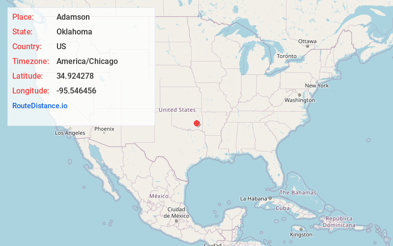
Static map view of Adamson, Oklahoma
Browse Places by Distance
Places within specific distances from Adamson
Short Distances
Long Distances
Click any distance to see all places within that range from Adamson. Distances shown in miles (1 mile ≈ 1.61 kilometers).