Distance to Adger, Alabama

Calculating Your Route
Just a moment while we process your request...
Location Information
-
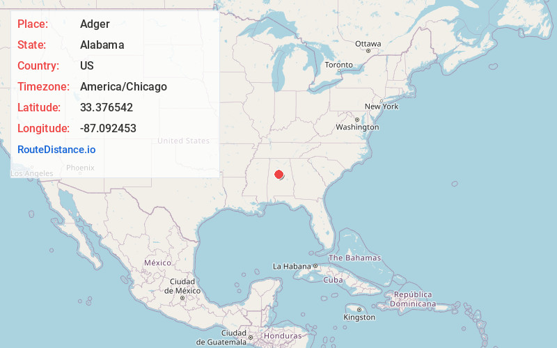
Full AddressAdger, AL 35006
-
Coordinates33.3765417, -87.0924532
-
NeighborhoodAdger
-
LocationAdger , Alabama , US
-
TimezoneAmerica/Chicago
-
Current Local Time3:43:32 AM America/ChicagoWednesday, June 18, 2025
-
Page Views0
About Adger
Adger is an unincorporated crossroads community in Jefferson County, Alabama, southwest of Birmingham.
Adger has a post office, two convenience stores and several churches. Local businesses include construction, a goat's milk soap business, roofing, plumbing, hauling, and heavy equipment operation.


Nearby Places
Found 10 places within 50 miles

North Johns
0.9 mi
1.4 km
North Johns, AL
Get directions
Blue Creek Mine
1.2 mi
1.9 km
Blue Creek Mine, Alabama 35023
Get directions
Black Diamond
2.2 mi
3.5 km
Black Diamond, AL 35023
Get directions
Chinn
2.6 mi
4.2 km
Chinn, Bessemer, AL 35022
Get directions
Lawsontown
3.0 mi
4.8 km
Lawsontown, AL 35444
Get directions
Mud Creek
4.1 mi
6.6 km
Mud Creek, AL 35006
Get directions
Weller
4.3 mi
6.9 km
Weller, AL 35006
Get directions
McAdory
4.5 mi
7.2 km
McAdory, Bessemer, AL 35023
Get directions

Valley Creek
4.6 mi
7.4 km
Valley Creek, Alabama
Get directions
Lowetown
4.8 mi
7.7 km
Lowetown, McCalla, AL 35111
Get directions
Location Links
Local Weather
Weather Information
Coming soon!
Location Map
Static map view of Adger, Alabama
Browse Places by Distance
Places within specific distances from Adger
Short Distances
Long Distances
Click any distance to see all places within that range from Adger. Distances shown in miles (1 mile ≈ 1.61 kilometers).