Distance to Adkins, Texas

Calculating Your Route
Just a moment while we process your request...
Location Information
-
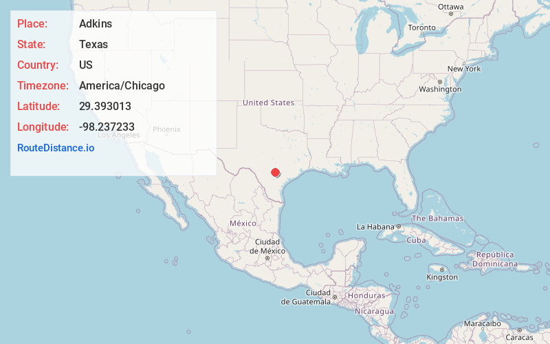
Full AddressAdkins, TX 78101
-
Coordinates29.3930129, -98.2372329
-
LocationAdkins , Texas , US
-
TimezoneAmerica/Chicago
-
Current Local Time9:29:51 PM America/ChicagoFriday, May 30, 2025
-
Page Views0
About Adkins
Adkins is an unincorporated community located partly in eastern Bexar County, Texas, United States. It is located within the Greater San Antonio metropolitan area.


Nearby Places
Found 10 places within 50 miles

St Hedwig
2.4 mi
3.9 km
St Hedwig, TX
Get directions

Martinez
6.2 mi
10.0 km
Martinez, TX 78220
Get directions

China Grove
6.7 mi
10.8 km
China Grove, TX
Get directions

La Vernia
7.8 mi
12.6 km
La Vernia, TX 78121
Get directions
Zuehl
8.6 mi
13.8 km
Zuehl, TX
Get directions
New Berlin
9.9 mi
15.9 km
New Berlin, TX
Get directions

Elmendorf
11.1 mi
17.9 km
Elmendorf, TX
Get directions
Judson Independent School District
11.3 mi
18.2 km
Judson Independent School District, TX
Get directions
Saspamco
11.5 mi
18.5 km
Saspamco, TX 78114
Get directions

Cibolo
11.6 mi
18.7 km
Cibolo, TX
Get directions
Location Links
Local Weather
Weather Information
Coming soon!
Location Map
Static map view of Adkins, Texas
Browse Places by Distance
Places within specific distances from Adkins
Short Distances
Long Distances
Click any distance to see all places within that range from Adkins. Distances shown in miles (1 mile ≈ 1.61 kilometers).