Distance to Admiralty Island, Alaska

Calculating Your Route
Just a moment while we process your request...
Location Information
-
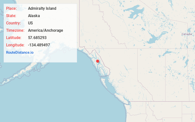
Full AddressAdmiralty Island, Alaska
-
Coordinates57.6852927, -134.4894974
-
LocationAlaska , US
-
TimezoneAmerica/Anchorage
-
Current Local Time11:11:56 AM America/AnchorageWednesday, June 18, 2025
-
Page Views0
About Admiralty Island
Island of the Alexander Archipelago separated by a canal & home to a large protected wildlife area.


Nearby Places
Found 10 places within 50 miles

Angoon
13.2 mi
21.2 km
Angoon, AK
Get directions

Cube Cove
18.9 mi
30.4 km
Cube Cove, AK
Get directions
Freshwater Bay
26.0 mi
41.8 km
Freshwater Bay, AK
Get directions
Tenakee Springs
27.7 mi
44.6 km
Tenakee Springs, AK 99841
Get directions

Juneau
42.6 mi
68.6 km
Juneau, AK
Get directions

Gold Creek
43.7 mi
70.3 km
Gold Creek, Juneau, AK 99801
Get directions

Whitestone Logging Camp
44.3 mi
71.3 km
Whitestone Logging Camp, AK 99829
Get directions

Game Creek
45.5 mi
73.2 km
Game Creek, AK
Get directions

Hoonah
45.7 mi
73.5 km
Hoonah, AK 99829
Get directions

Hobart Bay
46.7 mi
75.2 km
Hobart Bay, AK 99820
Get directions
Location Links
Local Weather
Weather Information
Coming soon!
Location Map
Static map view of Admiralty Island, Alaska
Browse Places by Distance
Places within specific distances from Admiralty Island
Short Distances
Long Distances
Click any distance to see all places within that range from Admiralty Island. Distances shown in miles (1 mile ≈ 1.61 kilometers).