Distance to Agnew, Michigan

Calculating Your Route
Just a moment while we process your request...
Location Information
-
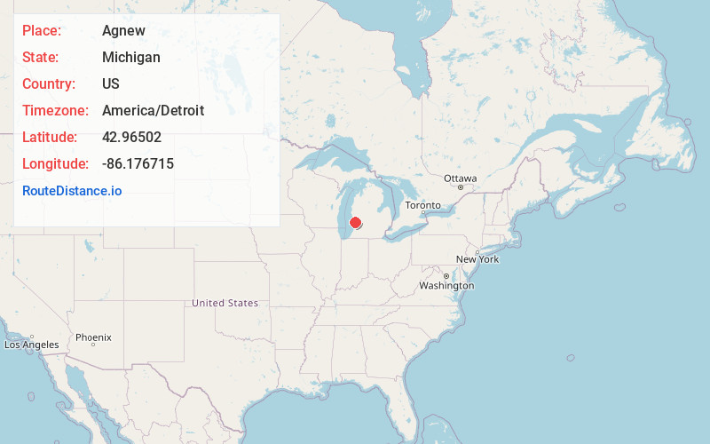
Full AddressAgnew, MI 49460
-
Coordinates42.96502, -86.1767153
-
LocationAgnew , Michigan , US
-
TimezoneAmerica/Detroit
-
Current Local Time12:05:57 AM America/DetroitWednesday, June 18, 2025
-
Page Views0
About Agnew
Agnew, Michigan is a tiny unincorporated community located at 42°57′54″N 86°10′36″W at the intersection of U.S. Highway 31 and M-45 in Grand Haven Charter Township of Ottawa County in the U.S. state of Michigan.
Nearby Places
Found 10 places within 50 miles

West Olive
3.4 mi
5.5 km
West Olive, MI 49460
Get directions

Rosy Mound
5.1 mi
8.2 km
Rosy Mound, Grand Haven Township, MI 49417
Get directions

Grand Haven
7.3 mi
11.7 km
Grand Haven, MI
Get directions

Spring Lake
7.8 mi
12.6 km
Spring Lake, MI
Get directions
Ferrysburg
8.5 mi
13.7 km
Ferrysburg, MI
Get directions
Ottawa Center
8.6 mi
13.8 km
Ottawa Center, Crockery Township, MI 49404
Get directions

Nunica
9.7 mi
15.6 km
Nunica, MI 49448
Get directions
Noordeloos Creek
11.1 mi
17.9 km
Noordeloos Creek, Holland Township, MI 49464
Get directions

Fruitport
11.1 mi
17.9 km
Fruitport, MI 49415
Get directions

Allendale
11.3 mi
18.2 km
Allendale, MI
Get directions
Location Links
Local Weather
Weather Information
Coming soon!
Location Map
Static map view of Agnew, Michigan
Browse Places by Distance
Places within specific distances from Agnew
Short Distances
Long Distances
Click any distance to see all places within that range from Agnew. Distances shown in miles (1 mile ≈ 1.61 kilometers).