Distance to Agua Dulce, Texas

Calculating Your Route
Just a moment while we process your request...
Location Information
-
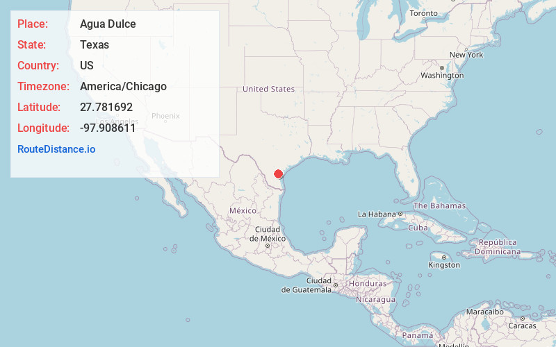
Full AddressAgua Dulce, TX 78330
-
Coordinates27.781692, -97.9086105
-
LocationAgua Dulce , Texas , US
-
TimezoneAmerica/Chicago
-
Current Local Time12:11:23 AM America/ChicagoSaturday, May 31, 2025
-
Page Views0
About Agua Dulce
Agua Dulce is a city in Nueces County, in the U.S. state of Texas. It is located on the Texas Mexican Railway at the intersection of State Highway 44 and Farm to Market Road 70 in west-central Nueces County. The name, Spanish for "sweet water", refers to a nearby creek.
Nearby Places
Found 10 places within 50 miles

Alice
10.1 mi
16.3 km
Alice, TX 78332
Get directions

Robstown
14.7 mi
23.7 km
Robstown, TX 78380
Get directions

Bishop
15.1 mi
24.3 km
Bishop, TX 78343
Get directions

Kingsville
18.6 mi
29.9 km
Kingsville, TX 78363
Get directions

San Diego
20.2 mi
32.5 km
San Diego, TX
Get directions

Mathis
22.2 mi
35.7 km
Mathis, TX 78368
Get directions

Sinton
30.1 mi
48.4 km
Sinton, TX
Get directions

Corpus Christi
31.4 mi
50.5 km
Corpus Christi, TX
Get directions

Premont
31.9 mi
51.3 km
Premont, TX
Get directions

Taft
34.0 mi
54.7 km
Taft, TX 78390
Get directions
Location Links
Local Weather
Weather Information
Coming soon!
Location Map
Static map view of Agua Dulce, Texas
Browse Places by Distance
Places within specific distances from Agua Dulce
Short Distances
Long Distances
Click any distance to see all places within that range from Agua Dulce. Distances shown in miles (1 mile ≈ 1.61 kilometers).