Distance to and from Aguanga, California
Aguanga, CA 92536
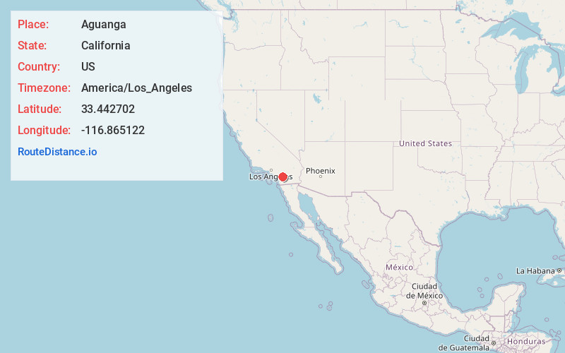
Aguanga
California
US
America/Los_Angeles
Location Information
-
Full AddressAguanga, CA 92536
-
Coordinates33.442702, -116.8651224
-
LocationAguanga , California , US
-
TimezoneAmerica/Los_Angeles
-
Current Local Time2:32:43 PM America/Los_AngelesSaturday, May 3, 2025
-
Page Views0
Directions to Nearest Cities
About Aguanga
Aguanga is a census-designated place located within the Inland Empire in Riverside County, California. It is located about 18 miles east of Temecula and 22 miles south-southeast of Hemet. Aguanga lies at an elevation of 1955 feet. As of the 2020 census, it had a population of 989.


Nearby Places
Found 10 places within 50 miles

Lake Riverside
6.9 mi
11.1 km
Lake Riverside, CA 92536
Get directions

Sage
10.4 mi
16.7 km
Sage, CA
Get directions

Pala
13.3 mi
21.4 km
Pala, CA
Get directions

Anza
13.5 mi
21.7 km
Anza, CA 92539
Get directions

Rainbow
16.5 mi
26.6 km
Rainbow, CA
Get directions

Temecula
16.7 mi
26.9 km
Temecula, CA
Get directions
French Valley
18.1 mi
29.1 km
French Valley, CA
Get directions

Valley Center
18.3 mi
29.5 km
Valley Center, CA
Get directions
Hidden Meadows
20.7 mi
33.3 km
Hidden Meadows, CA
Get directions

East Hemet
21.0 mi
33.8 km
East Hemet, CA
Get directions
Lake Riverside
6.9 mi
11.1 km
Lake Riverside, CA 92536
Sage
10.4 mi
16.7 km
Sage, CA
Pala
13.3 mi
21.4 km
Pala, CA
Anza
13.5 mi
21.7 km
Anza, CA 92539
Rainbow
16.5 mi
26.6 km
Rainbow, CA
Temecula
16.7 mi
26.9 km
Temecula, CA
French Valley
18.1 mi
29.1 km
French Valley, CA
Valley Center
18.3 mi
29.5 km
Valley Center, CA
Hidden Meadows
20.7 mi
33.3 km
Hidden Meadows, CA
East Hemet
21.0 mi
33.8 km
East Hemet, CA
Location Links
Local Weather
Weather Information
Coming soon!
Location Map
Static map view of Aguanga, California
Browse Places by Distance
Places within specific distances from Aguanga
Short Distances
Long Distances
Click any distance to see all places within that range from Aguanga. Distances shown in miles (1 mile ≈ 1.61 kilometers).