Distance to Aguascalientes, Aguascalientes

Calculating Your Route
Just a moment while we process your request...
Location Information
-
Full AddressAguascalientes, Mexico
-
Coordinates21.8852562, -102.2915677
-
LocationAguascalientes , Aguascalientes , MX
-
TimezoneAmerica/Mexico_City
-
Current Local Time12:04:58 PM America/Mexico_CityTuesday, June 10, 2025
-
Page Views0
About Aguascalientes
Aguascalientes is a city in central Mexico known for the Spanish colonial buildings in its historic center. On the Plaza de la Patria is the Nuestra Señora de la Asunción Cathedral, with 18th-century paintings by Miguel Cabrera. The 17th-century Government Palace is known for its many carved interior arches. The National Museum of Death displays funerary art and artifacts from pre-Columbian times to the present.


Location Links
Local Weather
Weather Information
Coming soon!
Location Map
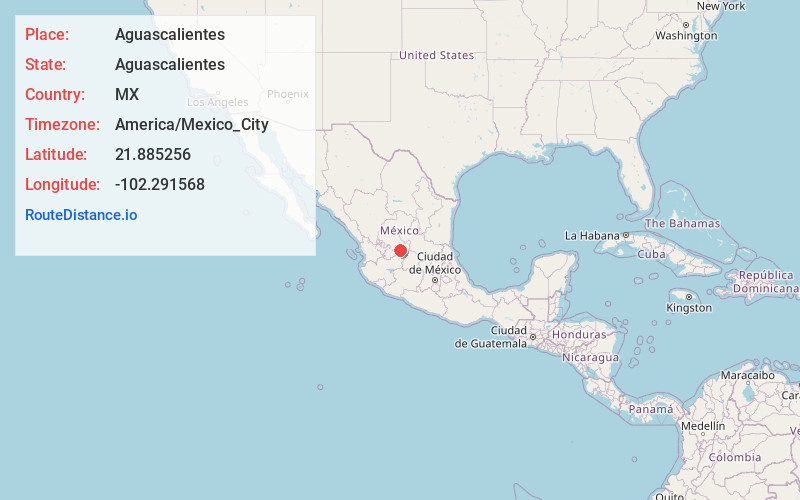
Static map view of Aguascalientes, Aguascalientes
Browse Places by Distance
Places within specific distances from Aguascalientes
Short Distances
Long Distances
Click any distance to see all places within that range from Aguascalientes. Distances shown in miles (1 mile ≈ 1.61 kilometers).