Distance to and from Aguilar, Colorado
Aguilar, CO 81020
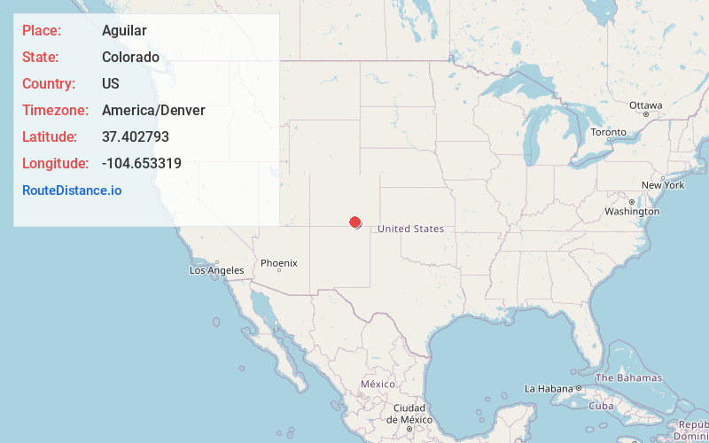
Aguilar
Colorado
US
America/Denver
Location Information
-
Full AddressAguilar, CO 81020
-
Coordinates37.402793, -104.6533187
-
LocationAguilar , Colorado , US
-
TimezoneAmerica/Denver
-
Current Local Time2:49:39 PM America/DenverSaturday, May 3, 2025
-
Website
-
Page Views0
Directions to Nearest Cities
About Aguilar
Aguilar is a statutory town located in Las Animas County, Colorado, United States. The town population was 456 at the 2020 United States census. Cattleman and prominent pioneer José Ramón Aguilar founded the town in 1894.


Nearby Places
Found 7 places within 50 miles

Walsenburg
16.7 mi
26.9 km
Walsenburg, CO 81089
Get directions

Trinidad
18.2 mi
29.3 km
Trinidad, CO 81082
Get directions

La Veta
20.8 mi
33.5 km
La Veta, CO 81055
Get directions

Colorado City
38.8 mi
62.4 km
Colorado City, CO
Get directions

Fort Garland
42.9 mi
69.0 km
Fort Garland, CO
Get directions

San Luis
44.6 mi
71.8 km
San Luis, CO 81152
Get directions

Beulah Valley
49.9 mi
80.3 km
Beulah Valley, CO 81023
Get directions
Walsenburg
16.7 mi
26.9 km
Walsenburg, CO 81089
Trinidad
18.2 mi
29.3 km
Trinidad, CO 81082
La Veta
20.8 mi
33.5 km
La Veta, CO 81055
Colorado City
38.8 mi
62.4 km
Colorado City, CO
Fort Garland
42.9 mi
69.0 km
Fort Garland, CO
San Luis
44.6 mi
71.8 km
San Luis, CO 81152
Beulah Valley
49.9 mi
80.3 km
Beulah Valley, CO 81023
Location Links
Local Weather
Weather Information
Coming soon!
Location Map
Static map view of Aguilar, Colorado
Browse Places by Distance
Places within specific distances from Aguilar
Short Distances
Long Distances
Click any distance to see all places within that range from Aguilar. Distances shown in miles (1 mile ≈ 1.61 kilometers).