Distance to and from Ah-gwah-ching, Minnesota
Ah-gwah-ching, MN 56484
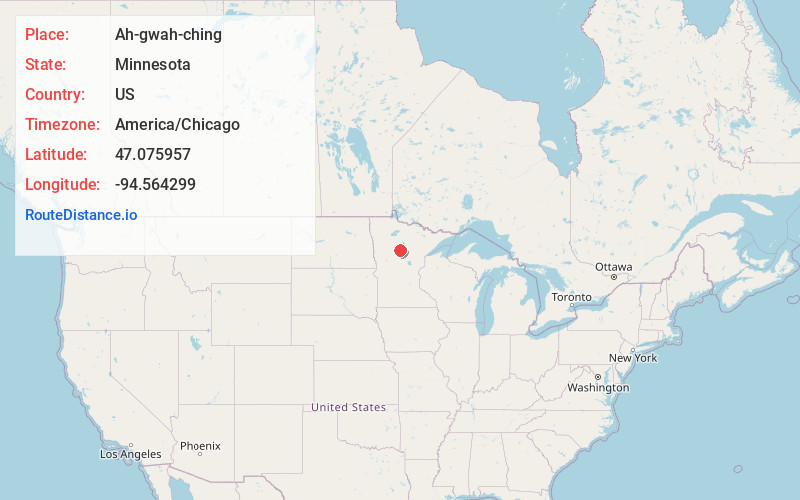
Ah-gwah-ching
Minnesota
US
America/Chicago
Location Information
-
Full AddressAh-gwah-ching, MN 56484
-
Coordinates47.0759572, -94.5642988
-
LocationAh-gwah-ching , Minnesota , US
-
TimezoneAmerica/Chicago
-
Current Local Time2:14:02 PM America/ChicagoSaturday, May 3, 2025
-
Page Views0
Directions to Nearest Cities
About Ah-gwah-ching
Ah-gwah-ching is an unincorporated community in Shingobee Township, Cass County, Minnesota, United States, near Walker.
It is along State Highways 200 and 371, two miles south-southeast of Walker. Ah-gwah-ching has the ZIP code 56430.
The name Ah-gwah-ching means "out-of-doors" in the Ojibwe language.
Nearby Places
Found 10 places within 50 miles

Walker
2.1 mi
3.4 km
Walker, MN
Get directions

Akeley
9.1 mi
14.6 km
Akeley, MN 56433
Get directions

Whipholt
9.6 mi
15.4 km
Whipholt, MN 56484
Get directions

Hackensack
10.2 mi
16.4 km
Hackensack, MN 56452
Get directions

Laporte
13.1 mi
21.1 km
Laporte, MN 56461
Get directions

Nevis
15.1 mi
24.3 km
Nevis, MN 56467
Get directions

Longville
17.7 mi
28.5 km
Longville, MN 56655
Get directions

Backus
17.8 mi
28.6 km
Backus, MN 56435
Get directions

Federal Dam
20.3 mi
32.7 km
Federal Dam, MN 56641
Get directions

Cass Lake
21.1 mi
34.0 km
Cass Lake, MN 56633
Get directions
Walker
2.1 mi
3.4 km
Walker, MN
Akeley
9.1 mi
14.6 km
Akeley, MN 56433
Whipholt
9.6 mi
15.4 km
Whipholt, MN 56484
Hackensack
10.2 mi
16.4 km
Hackensack, MN 56452
Laporte
13.1 mi
21.1 km
Laporte, MN 56461
Nevis
15.1 mi
24.3 km
Nevis, MN 56467
Longville
17.7 mi
28.5 km
Longville, MN 56655
Backus
17.8 mi
28.6 km
Backus, MN 56435
Federal Dam
20.3 mi
32.7 km
Federal Dam, MN 56641
Cass Lake
21.1 mi
34.0 km
Cass Lake, MN 56633
Location Links
Local Weather
Weather Information
Coming soon!
Location Map
Static map view of Ah-gwah-ching, Minnesota
Browse Places by Distance
Places within specific distances from Ah-gwah-ching
Short Distances
Long Distances
Click any distance to see all places within that range from Ah-gwah-ching. Distances shown in miles (1 mile ≈ 1.61 kilometers).