Distance to and from Ahwahnee, California
Ahwahnee, CA
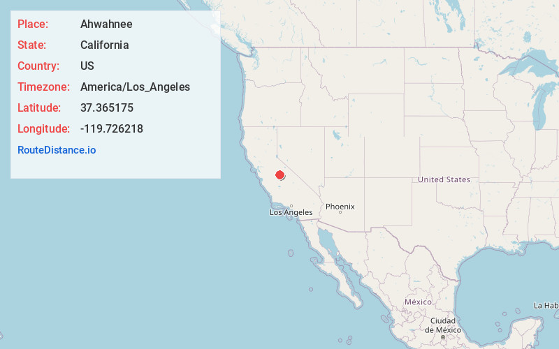
Ahwahnee
California
US
America/Los_Angeles
Location Information
-
Full AddressAhwahnee, CA
-
Coordinates37.3651749, -119.726218
-
LocationAhwahnee , California , US
-
TimezoneAmerica/Los_Angeles
-
Current Local Time12:19:32 PM America/Los_AngelesSaturday, May 3, 2025
-
Page Views0
Directions to Nearest Cities
About Ahwahnee
Ahwahnee is a census-designated place in Madera County, California, United States. It is located 5.25 miles west of Yosemite Forks, at an elevation of 2,326 feet. The population was 2,296 at the 2020 census.
Ahwahnee is hilly and located in the Sierra Nevada. The ZIP Code is 93601.


Nearby Places
Found 10 places within 50 miles

Oakhurst
4.9 mi
7.9 km
Oakhurst, CA
Get directions

Coarsegold
7.3 mi
11.7 km
Coarsegold, CA 93614
Get directions

Yosemite Lakes
12.3 mi
19.8 km
Yosemite Lakes, CA
Get directions

North Fork
15.2 mi
24.5 km
North Fork, CA
Get directions

Auberry
23.7 mi
38.1 km
Auberry, CA
Get directions

Madera Acres
31.1 mi
50.1 km
Madera Acres, CA 93638
Get directions

Madera Ranchos
31.4 mi
50.5 km
Madera Ranchos, CA 93636
Get directions

Planada
32.9 mi
52.9 km
Planada, CA
Get directions

Parksdale
33.2 mi
53.4 km
Parksdale, CA 93638
Get directions

Madera
33.4 mi
53.8 km
Madera, CA
Get directions
Oakhurst
4.9 mi
7.9 km
Oakhurst, CA
Coarsegold
7.3 mi
11.7 km
Coarsegold, CA 93614
Yosemite Lakes
12.3 mi
19.8 km
Yosemite Lakes, CA
North Fork
15.2 mi
24.5 km
North Fork, CA
Auberry
23.7 mi
38.1 km
Auberry, CA
Madera Acres
31.1 mi
50.1 km
Madera Acres, CA 93638
Madera Ranchos
31.4 mi
50.5 km
Madera Ranchos, CA 93636
Planada
32.9 mi
52.9 km
Planada, CA
Parksdale
33.2 mi
53.4 km
Parksdale, CA 93638
Madera
33.4 mi
53.8 km
Madera, CA
Location Links
Local Weather
Weather Information
Coming soon!
Location Map
Static map view of Ahwahnee, California
Browse Places by Distance
Places within specific distances from Ahwahnee
Short Distances
Long Distances
Click any distance to see all places within that range from Ahwahnee. Distances shown in miles (1 mile ≈ 1.61 kilometers).