Distance to Airway Heights, Washington

Calculating Your Route
Just a moment while we process your request...
Location Information
-
Full AddressAirway Heights, WA
-
Coordinates47.644611, -117.5932727
-
LocationAirway Heights , Washington , US
-
TimezoneAmerica/Los_Angeles
-
Current Local Time2:37:07 AM America/Los_AngelesWednesday, June 18, 2025
-
Website
-
Page Views0
About Airway Heights
Airway Heights is a city in Spokane County, Washington, United States, just west of Spokane. It is part of the Spokane metropolitan area and had a population of 10,757 at the 2020 census. The city's name was taken from its close proximity to the runways at Fairchild Air Force Base and Spokane International Airport.


Nearby Places
Found 7 places within 50 miles

Spokane
8.0 mi
12.9 km
Spokane, WA
Get directions

Cheney
10.9 mi
17.5 km
Cheney, WA 99004
Get directions

Spokane Valley
16.6 mi
26.7 km
Spokane Valley, WA
Get directions

Liberty Lake
22.5 mi
36.2 km
Liberty Lake, WA
Get directions

Post Falls
30.3 mi
48.8 km
Post Falls, ID
Get directions

Coeur d'Alene
37.8 mi
60.8 km
Coeur d'Alene, ID
Get directions

Hayden
38.4 mi
61.8 km
Hayden, ID
Get directions
Location Links
Local Weather
Weather Information
Coming soon!
Location Map
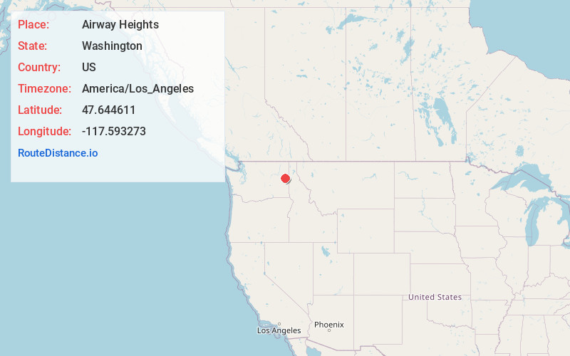
Static map view of Airway Heights, Washington
Browse Places by Distance
Places within specific distances from Airway Heights
Short Distances
Long Distances
Click any distance to see all places within that range from Airway Heights. Distances shown in miles (1 mile ≈ 1.61 kilometers).