Distance to Ak Chut Vaya, Arizona

Calculating Your Route
Just a moment while we process your request...
Location Information
-
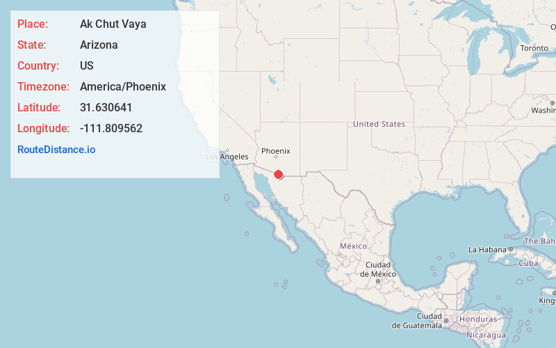
Full AddressAk Chut Vaya, AZ 85639
-
Coordinates31.6306414, -111.8095615
-
LocationAk Chut Vaya , Arizona , US
-
TimezoneAmerica/Phoenix
-
Current Local Time6:35:48 PM America/PhoenixTuesday, June 17, 2025
-
Page Views0
About Ak Chut Vaya
Ak Chut Vaya was a populated place on the Tohono Oʼodham Reservation, in Pima County. The settlement was located on the Tohono Oʼodham Indian Reservation. The Tohono Oʼodham name "Ak Chut Vaya" translates to "arroyo well" in English. It has an estimated elevation of 2,434 feet above sea level.
Nearby Places
Found 10 places within 50 miles

Choulic
3.2 mi
5.1 km
Choulic, AZ 85639
Get directions

Chutum Vaya Wash
3.8 mi
6.1 km
Chutum Vaya Wash, Arizona 85639
Get directions
Haivan Vaya
4.0 mi
6.4 km
Haivan Vaya, AZ 85639
Get directions
South Komelik
6.3 mi
10.1 km
South Komelik, AZ 85639
Get directions
Kuit Vaya
8.3 mi
13.4 km
Kuit Vaya, AZ 85639
Get directions
Vamori
8.4 mi
13.5 km
Vamori, AZ 85634
Get directions
Sapano Vaya
8.9 mi
14.3 km
Sapano Vaya, AZ 85639
Get directions
Vopolo Havoka
11.2 mi
18.0 km
Vopolo Havoka, AZ 85639
Get directions
Buenos Aires
11.7 mi
18.8 km
Buenos Aires, AZ 85639
Get directions
Itak
12.4 mi
20.0 km
Itak, AZ 85634
Get directions
Location Links
Local Weather
Weather Information
Coming soon!
Location Map
Static map view of Ak Chut Vaya, Arizona
Browse Places by Distance
Places within specific distances from Ak Chut Vaya
Short Distances
Long Distances
Click any distance to see all places within that range from Ak Chut Vaya. Distances shown in miles (1 mile ≈ 1.61 kilometers).