Distance to and from Alabama Port, Alabama
Alabama Port, AL 36523
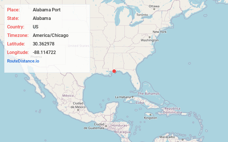
Alabama Port
Alabama
US
America/Chicago
Location Information
-
Full AddressAlabama Port, AL 36523
-
Coordinates30.3629775, -88.1147216
-
LocationAlabama Port , Alabama , US
-
TimezoneAmerica/Chicago
-
Current Local Time6:01:43 PM America/ChicagoSaturday, May 3, 2025
-
Page Views0
Directions to Nearest Cities
About Alabama Port
Alabama Port, also sometimes known as Port Alabama, is an unincorporated community on Mon Louis Island, in Mobile County, Alabama, United States.


Nearby Places
Found 10 places within 50 miles

Heron Bay
1.1 mi
1.8 km
Heron Bay, AL 36523
Get directions
Delchamps
3.3 mi
5.3 km
Delchamps, AL 36523
Get directions
Mon Louis
5.4 mi
8.7 km
Mon Louis, AL 36523
Get directions
South Orchard
7.4 mi
11.9 km
South Orchard, AL 36582
Get directions

Dauphin Island
7.5 mi
12.1 km
Dauphin Island, AL
Get directions

Bayou La Batre
9.2 mi
14.8 km
Bayou La Batre, AL
Get directions

Fort Morgan
11.1 mi
17.9 km
Fort Morgan, AL 36542
Get directions

Fowl River
11.2 mi
18.0 km
Fowl River, Alabama
Get directions

Irvington
11.9 mi
19.2 km
Irvington, AL 36544
Get directions

Theodore
13.8 mi
22.2 km
Theodore, AL 36582
Get directions
Heron Bay
1.1 mi
1.8 km
Heron Bay, AL 36523
Delchamps
3.3 mi
5.3 km
Delchamps, AL 36523
Mon Louis
5.4 mi
8.7 km
Mon Louis, AL 36523
South Orchard
7.4 mi
11.9 km
South Orchard, AL 36582
Dauphin Island
7.5 mi
12.1 km
Dauphin Island, AL
Bayou La Batre
9.2 mi
14.8 km
Bayou La Batre, AL
Fort Morgan
11.1 mi
17.9 km
Fort Morgan, AL 36542
Fowl River
11.2 mi
18.0 km
Fowl River, Alabama
Irvington
11.9 mi
19.2 km
Irvington, AL 36544
Theodore
13.8 mi
22.2 km
Theodore, AL 36582
Location Links
Local Weather
Weather Information
Coming soon!
Location Map
Static map view of Alabama Port, Alabama
Browse Places by Distance
Places within specific distances from Alabama Port
Short Distances
Long Distances
Click any distance to see all places within that range from Alabama Port. Distances shown in miles (1 mile ≈ 1.61 kilometers).