Distance to Alamo, Texas

Calculating Your Route
Just a moment while we process your request...
Location Information
-
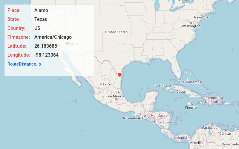
Full AddressAlamo, TX
-
Coordinates26.1836854, -98.1230638
-
LocationAlamo , Texas , US
-
TimezoneAmerica/Chicago
-
Current Local Time9:33:23 AM America/ChicagoMonday, June 2, 2025
-
Website
-
Page Views0
About Alamo
Alamo, located in the Rio Grande Valley is a city in the irrigated area of southern Hidalgo County, Texas, United States in an area of vegetable farming and citrus groves, and is a noted winter resort/retirement town near the Mexico–U.S. border.


Nearby Places
Found 9 places within 50 miles

San Juan
2.0 mi
3.2 km
San Juan, TX
Get directions

Pharr
3.8 mi
6.1 km
Pharr, TX 78577
Get directions

McAllen
6.8 mi
10.9 km
McAllen, TX
Get directions

Weslaco
8.4 mi
13.5 km
Weslaco, TX
Get directions

Edinburg
8.5 mi
13.7 km
Edinburg, TX
Get directions

Mission
12.7 mi
20.4 km
Mission, TX
Get directions

Harlingen
26.5 mi
42.6 km
Harlingen, TX
Get directions

San Benito
30.7 mi
49.4 km
San Benito, TX 78586
Get directions

Brownsville
43.4 mi
69.8 km
Brownsville, TX
Get directions
Location Links
Local Weather
Weather Information
Coming soon!
Location Map
Static map view of Alamo, Texas
Browse Places by Distance
Places within specific distances from Alamo
Short Distances
Long Distances
Click any distance to see all places within that range from Alamo. Distances shown in miles (1 mile ≈ 1.61 kilometers).