Distance to and from Alamogordo, New Mexico
Alamogordo, NM 88310
Alamogordo
New Mexico
US
America/Denver
Location Information
-
Full AddressAlamogordo, NM 88310
-
Coordinates32.9007766, -105.9601797
-
LocationAlamogordo , New Mexico , US
-
TimezoneAmerica/Denver
-
Current Local Time1:28:34 PM America/DenverSaturday, May 3, 2025
-
Website
-
Page Views0
About Alamogordo
Alamogordo is a city in and the county seat of Otero County, New Mexico, United States. A city in the Tularosa Basin of the Chihuahuan Desert, it is bordered on the east by the Sacramento Mountains and to the west by Holloman Air Force Base. The population was 31,384 as of the 2020 census.


Location Links
Local Weather
Weather Information
Coming soon!
Location Map
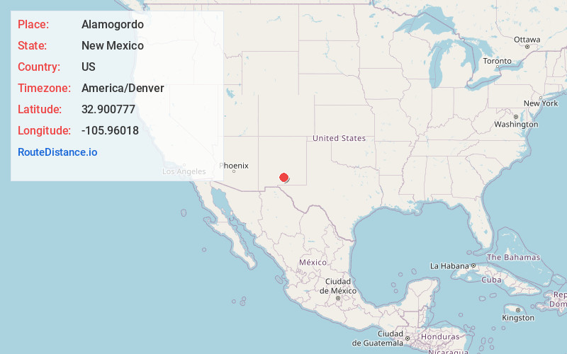
Static map view of Alamogordo, New Mexico
Browse Places by Distance
Places within specific distances from Alamogordo
Short Distances
Long Distances
Click any distance to see all places within that range from Alamogordo. Distances shown in miles (1 mile ≈ 1.61 kilometers).