Distance to and from Alamorio, California
Alamorio, CA 92227
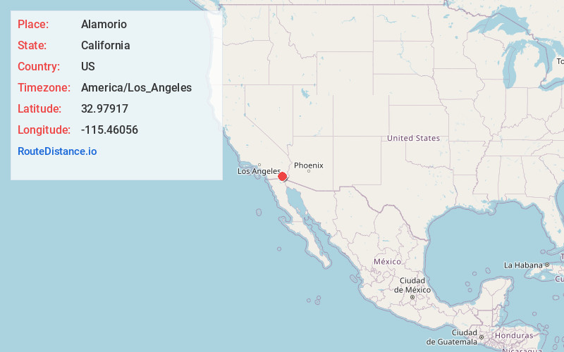
Alamorio
California
US
America/Los_Angeles
Location Information
-
Full AddressAlamorio, CA 92227
-
Coordinates32.97917, -115.46056
-
LocationAlamorio , California , US
-
TimezoneAmerica/Los_Angeles
-
Current Local Time11:38:17 AM America/Los_AngelesSaturday, May 3, 2025
-
Page Views0
Directions to Nearest Cities
About Alamorio
Alamorio is an unincorporated community in Imperial County, California. It is located 12.5 miles, north-northwest of Holtville, at an elevation of 128 feet below sea level. The community resides along the Alamo River and California State Route 78.
A post office operated at Alamorio from 1909 to 1917.
Nearby Places
Found 10 places within 50 miles

Orita
3.3 mi
5.3 km
Orita, CA 92227
Get directions
Moss
3.4 mi
5.5 km
Moss, CA 92227
Get directions
Hovley
3.8 mi
6.1 km
Hovley, CA 92227
Get directions

Brawley
4.0 mi
6.4 km
Brawley, CA 92227
Get directions
Munyon
5.0 mi
8.0 km
Munyon, CA 92227
Get directions
Wiest
6.0 mi
9.7 km
Wiest, CA 92227
Get directions

Westmorland
10.1 mi
16.3 km
Westmorland, CA
Get directions

Calipatria
10.6 mi
17.1 km
Calipatria, CA 92233
Get directions

Imperial
11.1 mi
17.9 km
Imperial, CA
Get directions

Holtville
12.5 mi
20.1 km
Holtville, CA 92250
Get directions
Orita
3.3 mi
5.3 km
Orita, CA 92227
Moss
3.4 mi
5.5 km
Moss, CA 92227
Hovley
3.8 mi
6.1 km
Hovley, CA 92227
Brawley
4.0 mi
6.4 km
Brawley, CA 92227
Munyon
5.0 mi
8.0 km
Munyon, CA 92227
Wiest
6.0 mi
9.7 km
Wiest, CA 92227
Westmorland
10.1 mi
16.3 km
Westmorland, CA
Calipatria
10.6 mi
17.1 km
Calipatria, CA 92233
Imperial
11.1 mi
17.9 km
Imperial, CA
Holtville
12.5 mi
20.1 km
Holtville, CA 92250
Location Links
Local Weather
Weather Information
Coming soon!
Location Map
Static map view of Alamorio, California
Browse Places by Distance
Places within specific distances from Alamorio
Short Distances
Long Distances
Click any distance to see all places within that range from Alamorio. Distances shown in miles (1 mile ≈ 1.61 kilometers).