Distance to Alberta, Alabama

Calculating Your Route
Just a moment while we process your request...
Location Information
-
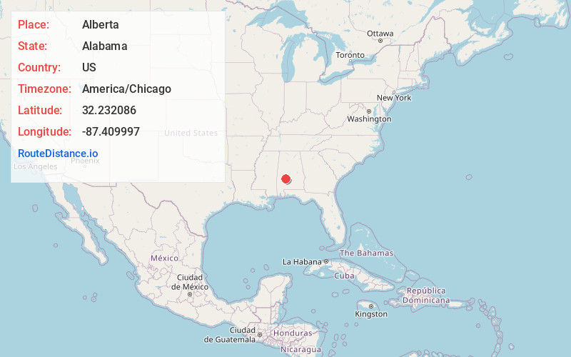
Full AddressAlberta, AL 36720
-
Coordinates32.232086, -87.4099974
-
LocationAlberta , Alabama , US
-
TimezoneAmerica/Chicago
-
Current Local Time4:17:22 AM America/ChicagoWednesday, June 18, 2025
-
Page Views0
About Alberta
Alberta is an unincorporated community in Wilcox County, Alabama, United States.
The community has the name of Alberta Bush, the wife of a railroad official.
Nearby Places
Found 10 places within 50 miles

Safford
4.4 mi
7.1 km
Safford, AL 36773
Get directions
Catherine
4.8 mi
7.7 km
Catherine, AL 36728
Get directions
Blalock
5.6 mi
9.0 km
Blalock, AL 36773
Get directions
Westbrook
7.7 mi
12.4 km
Westbrook, AL 36759
Get directions

Orrville
10.9 mi
17.5 km
Orrville, AL 36767
Get directions
Thomaston
12.8 mi
20.6 km
Thomaston, AL 36783
Get directions

Boykin
13.0 mi
20.9 km
Boykin, AL
Get directions
Pinebelt
14.2 mi
22.9 km
Pinebelt, AL 36767
Get directions
Anne Manie
15.5 mi
24.9 km
Anne Manie, AL 36722
Get directions
Dayton
15.8 mi
25.4 km
Dayton, AL
Get directions
Location Links
Local Weather
Weather Information
Coming soon!
Location Map
Static map view of Alberta, Alabama
Browse Places by Distance
Places within specific distances from Alberta
Short Distances
Long Distances
Click any distance to see all places within that range from Alberta. Distances shown in miles (1 mile ≈ 1.61 kilometers).