Distance to Alberton, Montana

Calculating Your Route
Just a moment while we process your request...
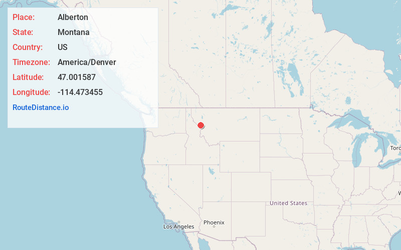
Location Information
-
Full AddressAlberton, MT 59820
-
Coordinates47.0015869, -114.4734549
-
LocationAlberton , Montana , US
-
TimezoneAmerica/Denver
-
Current Local Time1:28:48 AM America/DenverWednesday, June 18, 2025
-
Page Views0
About Alberton
Alberton is a town in Mineral County, Montana, United States. The population was 452 at the 2020 census.


Nearby Places
Found 10 places within 50 miles

Frenchtown
11.5 mi
18.5 km
Frenchtown, MT
Get directions

Wye
16.9 mi
27.2 km
Wye, MT 59808
Get directions

Arlee
21.4 mi
34.4 km
Arlee, MT 59821
Get directions
Orchard Homes
22.2 mi
35.7 km
Orchard Homes, MT
Get directions

Superior
23.7 mi
38.1 km
Superior, MT 59872
Get directions

Missoula
24.3 mi
39.1 km
Missoula, MT
Get directions

Lolo
25.1 mi
40.4 km
Lolo, MT
Get directions

East Missoula
26.5 mi
42.6 km
East Missoula, MT 59802
Get directions

St Ignatius
28.3 mi
45.5 km
St Ignatius, MT 59865
Get directions
Piltzville
30.4 mi
48.9 km
Piltzville, MT 59802
Get directions
Location Links
Local Weather
Weather Information
Coming soon!
Location Map
Static map view of Alberton, Montana
Browse Places by Distance
Places within specific distances from Alberton
Short Distances
Long Distances
Click any distance to see all places within that range from Alberton. Distances shown in miles (1 mile ≈ 1.61 kilometers).