Distance to Albia, Iowa

Calculating Your Route
Just a moment while we process your request...
Location Information
-
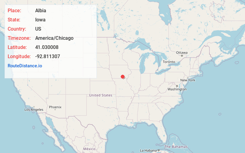
Full AddressAlbia, IA 52531
-
Coordinates41.0300078, -92.811307
-
LocationAlbia , Iowa , US
-
TimezoneAmerica/Chicago
-
Current Local Time10:05:55 PM America/ChicagoThursday, May 22, 2025
-
Page Views0
About Albia
Albia is a city in and the county seat of Monroe County, in southern Iowa, United States. The population was 3,721 at the 2020 census.
The city of Albia is known for its historic square and city-wide Victorian Architecture.

Nearby Places
Found 10 places within 50 miles

Oskaloosa
19.9 mi
32.0 km
Oskaloosa, IA 52577
Get directions

Ottumwa
21.0 mi
33.8 km
Ottumwa, IA 52501
Get directions

Centerville
21.0 mi
33.8 km
Centerville, IA 52544
Get directions

Knoxville
25.0 mi
40.2 km
Knoxville, IA 50138
Get directions

Chariton
26.2 mi
42.2 km
Chariton, IA 50049
Get directions

Pella
26.7 mi
43.0 km
Pella, IA 50219
Get directions

Indianola
45.0 mi
72.4 km
Indianola, IA 50125
Get directions

Carlisle
47.6 mi
76.6 km
Carlisle, IA 50047
Get directions

Newton
48.2 mi
77.6 km
Newton, IA 50208
Get directions

Grinnell
49.5 mi
79.7 km
Grinnell, IA 50112
Get directions
Location Links
Local Weather
Weather Information
Coming soon!
Location Map
Static map view of Albia, Iowa
Browse Places by Distance
Places within specific distances from Albia
Short Distances
Long Distances
Click any distance to see all places within that range from Albia. Distances shown in miles (1 mile ≈ 1.61 kilometers).