Distance to Albion, Michigan

Calculating Your Route
Just a moment while we process your request...
Location Information
-
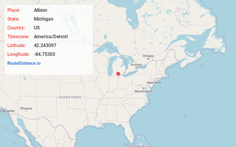
Full AddressAlbion, MI 49224
-
Coordinates42.243097, -84.7530304
-
LocationAlbion , Michigan , US
-
TimezoneAmerica/Detroit
-
Current Local Time5:21:17 AM America/DetroitWednesday, June 18, 2025
-
Page Views0
About Albion
Albion is a city in Calhoun County in the south central region of the Lower Peninsula of the U.S. state of Michigan. The population was 7,700 at the 2020 census. Albion is part of the Battle Creek Metropolitan Statistical Area.


Nearby Places
Found 10 places within 50 miles

Jackson
18.0 mi
29.0 km
Jackson, MI
Get directions

Battle Creek
22.5 mi
36.2 km
Battle Creek, MI
Get directions

Charlotte
22.5 mi
36.2 km
Charlotte, MI 48813
Get directions

Hillsdale
23.2 mi
37.3 km
Hillsdale, MI
Get directions

Coldwater
24.5 mi
39.4 km
Coldwater, MI 49036
Get directions

Mason
28.1 mi
45.2 km
Mason, MI 48854
Get directions

Holt
30.0 mi
48.3 km
Holt, MI
Get directions

Waverly
35.0 mi
56.3 km
Waverly, MI 48917
Get directions

Grand Ledge
35.3 mi
56.8 km
Grand Ledge, MI 48837
Get directions

Lansing
35.4 mi
57.0 km
Lansing, MI
Get directions
Location Links
Local Weather
Weather Information
Coming soon!
Location Map
Static map view of Albion, Michigan
Browse Places by Distance
Places within specific distances from Albion
Short Distances
Long Distances
Click any distance to see all places within that range from Albion. Distances shown in miles (1 mile ≈ 1.61 kilometers).