Distance to Alcan Border, Alaska

Calculating Your Route
Just a moment while we process your request...
Location Information
-
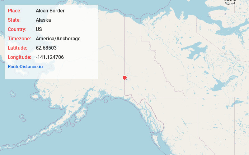
Full AddressAlcan Border, AK
-
Coordinates62.68503, -141.1247058
-
LocationAlcan Border , Alaska , US
-
TimezoneAmerica/Anchorage
-
Current Local Time1:24:37 AM America/AnchorageWednesday, June 18, 2025
-
Page Views0
About Alcan Border
Alcan Border, also known as Port Alcan, is a census-designated place in the Southeast Fairbanks Census Area in the U.S. state of Alaska. Part of the Unorganized Borough, Alcan Border is the site of the Alcan - Beaver Creek Border Crossing, the main U.S. port of entry for persons arriving in Alaska by road.


Nearby Places
Found 1 places within 50 miles

Location Links
Local Weather
Weather Information
Coming soon!
Location Map
Static map view of Alcan Border, Alaska
Browse Places by Distance
Places within specific distances from Alcan Border
Short Distances
Long Distances
Click any distance to see all places within that range from Alcan Border. Distances shown in miles (1 mile ≈ 1.61 kilometers).