Distance to Alcoa, Tennessee

Calculating Your Route
Just a moment while we process your request...
Location Information
-
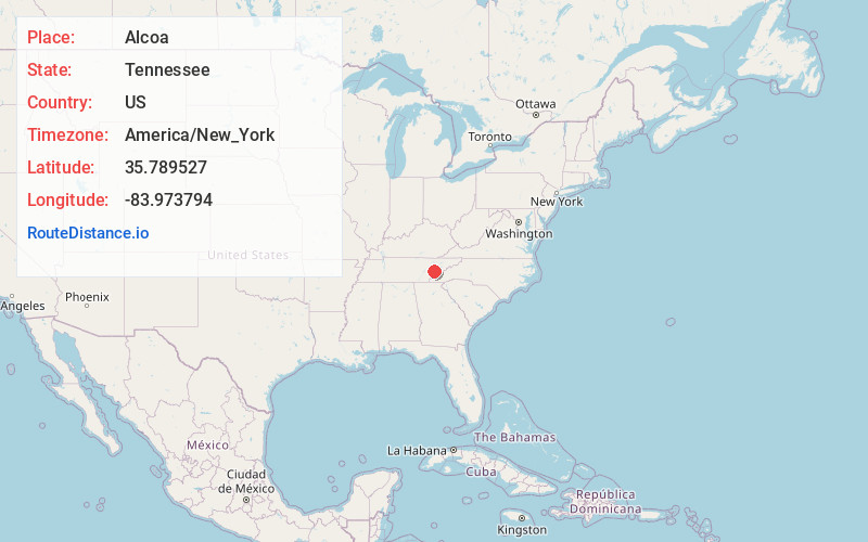
Full AddressAlcoa, TN
-
Coordinates35.7895271, -83.9737935
-
LocationAlcoa , Tennessee , US
-
TimezoneAmerica/New_York
-
Current Local Time5:21:44 AM America/New_YorkWednesday, June 18, 2025
-
Page Views0
About Alcoa
Alcoa is a city in Blount County, Tennessee, United States. Its population was 10,978 at the 2020 census. It is part of the Knoxville, TN Metropolitan Statistical Area.
As its name suggests, Alcoa was the site of a large aluminum smelting plant owned and operated by the Alcoa corporation.


Nearby Places
Found 8 places within 50 miles

Maryville
2.3 mi
3.7 km
Maryville, TN
Get directions

Seymour
12.6 mi
20.3 km
Seymour, TN 37865
Get directions

Farragut
12.6 mi
20.3 km
Farragut, TN
Get directions

Powell
17.0 mi
27.4 km
Powell, TN 37849
Get directions

Oak Ridge
22.5 mi
36.2 km
Oak Ridge, TN
Get directions

Sevierville
23.7 mi
38.1 km
Sevierville, TN
Get directions

Athens
42.2 mi
67.9 km
Athens, TN 37303
Get directions

Morristown
48.0 mi
77.2 km
Morristown, TN
Get directions
Location Links
Local Weather
Weather Information
Coming soon!
Location Map
Static map view of Alcoa, Tennessee
Browse Places by Distance
Places within specific distances from Alcoa
Short Distances
Long Distances
Click any distance to see all places within that range from Alcoa. Distances shown in miles (1 mile ≈ 1.61 kilometers).