Distance to Alder Branch, Tennessee

Calculating Your Route
Just a moment while we process your request...
Location Information
-
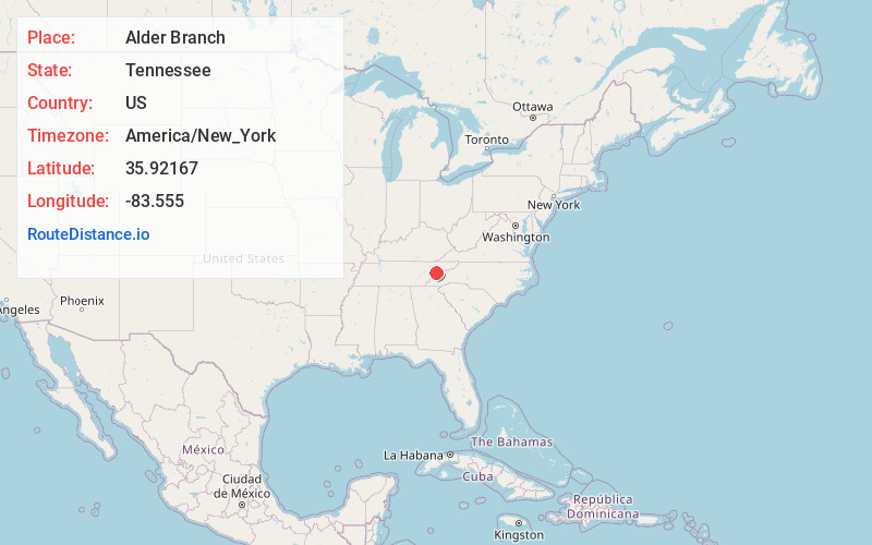
Full AddressAlder Branch, TN 37876
-
Coordinates35.92167, -83.555
-
LocationAlder Branch , Tennessee , US
-
TimezoneAmerica/New_York
-
Current Local Time12:06:44 AM America/New_YorkWednesday, June 18, 2025
-
Page Views0
About Alder Branch
Alder Branch is an unincorporated community in Sevier County, Tennessee, United States. It is accessible via State Route 338, outside of the city of Sevierville. The area is named for the Alder Branch Baptist Church founded in 1836, which itself is named for the Alder Branch stream which flows through the area.
Nearby Places
Found 10 places within 50 miles

Millican Grove
2.9 mi
4.7 km
Millican Grove, TN 37876
Get directions

Black Oak Ridge
3.0 mi
4.8 km
Black Oak Ridge, Tennessee 37876
Get directions
Henry Crossroads
3.3 mi
5.3 km
Henry Crossroads, Sevierville, TN 37764
Get directions

Sevierville
3.7 mi
6.0 km
Sevierville, TN
Get directions
Cook Mill
5.0 mi
8.0 km
Cook Mill, TN 37820
Get directions
Harrisburg
5.7 mi
9.2 km
Harrisburg, TN 37876
Get directions

Boyds Creek
5.8 mi
9.3 km
Boyds Creek, TN 37876
Get directions
New Era
6.1 mi
9.8 km
New Era, TN 37862
Get directions
Piedmont
7.4 mi
11.9 km
Piedmont, TN 37725
Get directions
Fairgarden
7.8 mi
12.6 km
Fairgarden, TN 37876
Get directions
Location Links
Local Weather
Weather Information
Coming soon!
Location Map
Static map view of Alder Branch, Tennessee
Browse Places by Distance
Places within specific distances from Alder Branch
Short Distances
Long Distances
Click any distance to see all places within that range from Alder Branch. Distances shown in miles (1 mile ≈ 1.61 kilometers).