Distance to Alexander, Texas

Calculating Your Route
Just a moment while we process your request...
Location Information
-
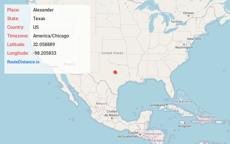
Full AddressAlexander, TX 76446
-
Coordinates32.058889, -98.205833
-
LocationAlexander , Texas , US
-
TimezoneAmerica/Chicago
-
Current Local Time2:57:42 AM America/ChicagoTuesday, June 24, 2025
-
Page Views0
About Alexander
Alexander is an unincorporated community located in southern Erath County in Central Texas, United States. Alexander is located in the southern part of the county, along Texas State Highway 6 and Fm-914. The town was originally called: "Harper's Mill" when the Post Office was approved for operation around the 1870s.
Nearby Places
Found 10 places within 50 miles

Clairette
5.3 mi
8.5 km
Clairette, TX 76446
Get directions

Dublin
8.2 mi
13.2 km
Dublin, TX 76446
Get directions

Carlton
9.9 mi
15.9 km
Carlton, TX
Get directions

Stephenville
11.2 mi
18.0 km
Stephenville, TX 76401
Get directions

Hico
11.4 mi
18.3 km
Hico, TX 76457
Get directions
Bunyan
12.0 mi
19.3 km
Bunyan, TX 76446
Get directions
Proctor
14.0 mi
22.5 km
Proctor, TX 76446
Get directions
Lingleville
16.3 mi
26.2 km
Lingleville, TX
Get directions

Gustine
18.7 mi
30.1 km
Gustine, TX 76455
Get directions

De Leon
19.7 mi
31.7 km
De Leon, TX 76444
Get directions
Location Links
Local Weather
Weather Information
Coming soon!
Location Map
Static map view of Alexander, Texas
Browse Places by Distance
Places within specific distances from Alexander
Short Distances
Long Distances
Click any distance to see all places within that range from Alexander. Distances shown in miles (1 mile ≈ 1.61 kilometers).