Distance to Alexander, Illinois

Calculating Your Route
Just a moment while we process your request...
Location Information
-
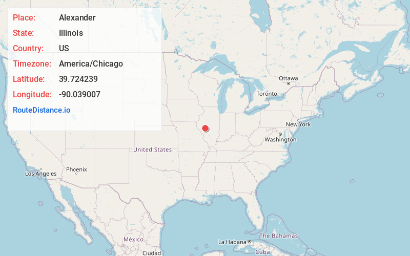
Full AddressAlexander, IL
-
Coordinates39.7242387, -90.0390073
-
LocationAlexander , Illinois , US
-
TimezoneAmerica/Chicago
-
Current Local Time4:19:11 AM America/ChicagoWednesday, June 18, 2025
-
Page Views0
About Alexander
Alexander is an unincorporated community and census-designated place in Morgan County, Illinois, United States. Alexander is 10 miles east of Jacksonville, the county seat, and has a post office with ZIP code 62601. As of the 2020 census, it had a population of 155.
Nearby Places
Found 10 places within 50 miles

New Berlin
6.8 mi
10.9 km
New Berlin, IL 62670
Get directions
Franklin
7.2 mi
11.6 km
Franklin, IL
Get directions

Jacksonville
10.1 mi
16.3 km
Jacksonville, IL 62650
Get directions
South Jacksonville
10.2 mi
16.4 km
South Jacksonville, IL 62650
Get directions
Waverly
10.2 mi
16.4 km
Waverly, IL 62692
Get directions

Loami
10.8 mi
17.4 km
Loami, IL 62661
Get directions

Ashland
11.4 mi
18.3 km
Ashland, IL 62612
Get directions
Woodson
11.9 mi
19.2 km
Woodson, IL
Get directions
Pleasant Plains
12.0 mi
19.3 km
Pleasant Plains, IL 62677
Get directions

Murrayville
14.8 mi
23.8 km
Murrayville, IL 62668
Get directions
Location Links
Local Weather
Weather Information
Coming soon!
Location Map
Static map view of Alexander, Illinois
Browse Places by Distance
Places within specific distances from Alexander
Short Distances
Long Distances
Click any distance to see all places within that range from Alexander. Distances shown in miles (1 mile ≈ 1.61 kilometers).