Distance to Alexandria, Indiana

Calculating Your Route
Just a moment while we process your request...
Location Information
-
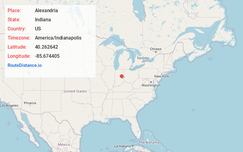
Full AddressAlexandria, IN 46001
-
Coordinates40.2626417, -85.6744049
-
LocationAlexandria , Indiana , US
-
TimezoneAmerica/Indianapolis
-
Website
-
Page Views0
About Alexandria
Alexandria is a city in Monroe Township, Madison County, Indiana, United States. It is about 48 miles northeast of Indianapolis. According to the 2020 census, its population was 5,149, nearly unchanged from 2010.


Nearby Places
Found 10 places within 50 miles

Elwood
8.9 mi
14.3 km
Elwood, IN 46036
Get directions

Anderson
10.9 mi
17.5 km
Anderson, IN
Get directions

Yorktown
11.7 mi
18.8 km
Yorktown, IN
Get directions

Gas City
15.9 mi
25.6 km
Gas City, IN
Get directions

Muncie
15.9 mi
25.6 km
Muncie, IN
Get directions

Tipton
19.4 mi
31.2 km
Tipton, IN 46072
Get directions

Cicero
20.3 mi
32.7 km
Cicero, IN
Get directions

Marion
20.5 mi
33.0 km
Marion, IN
Get directions

Hartford City
20.7 mi
33.3 km
Hartford City, IN 47348
Get directions

Noblesville
23.2 mi
37.3 km
Noblesville, IN
Get directions
Location Links
Local Weather
Weather Information
Coming soon!
Location Map
Static map view of Alexandria, Indiana
Browse Places by Distance
Places within specific distances from Alexandria
Short Distances
Long Distances
Click any distance to see all places within that range from Alexandria. Distances shown in miles (1 mile ≈ 1.61 kilometers).